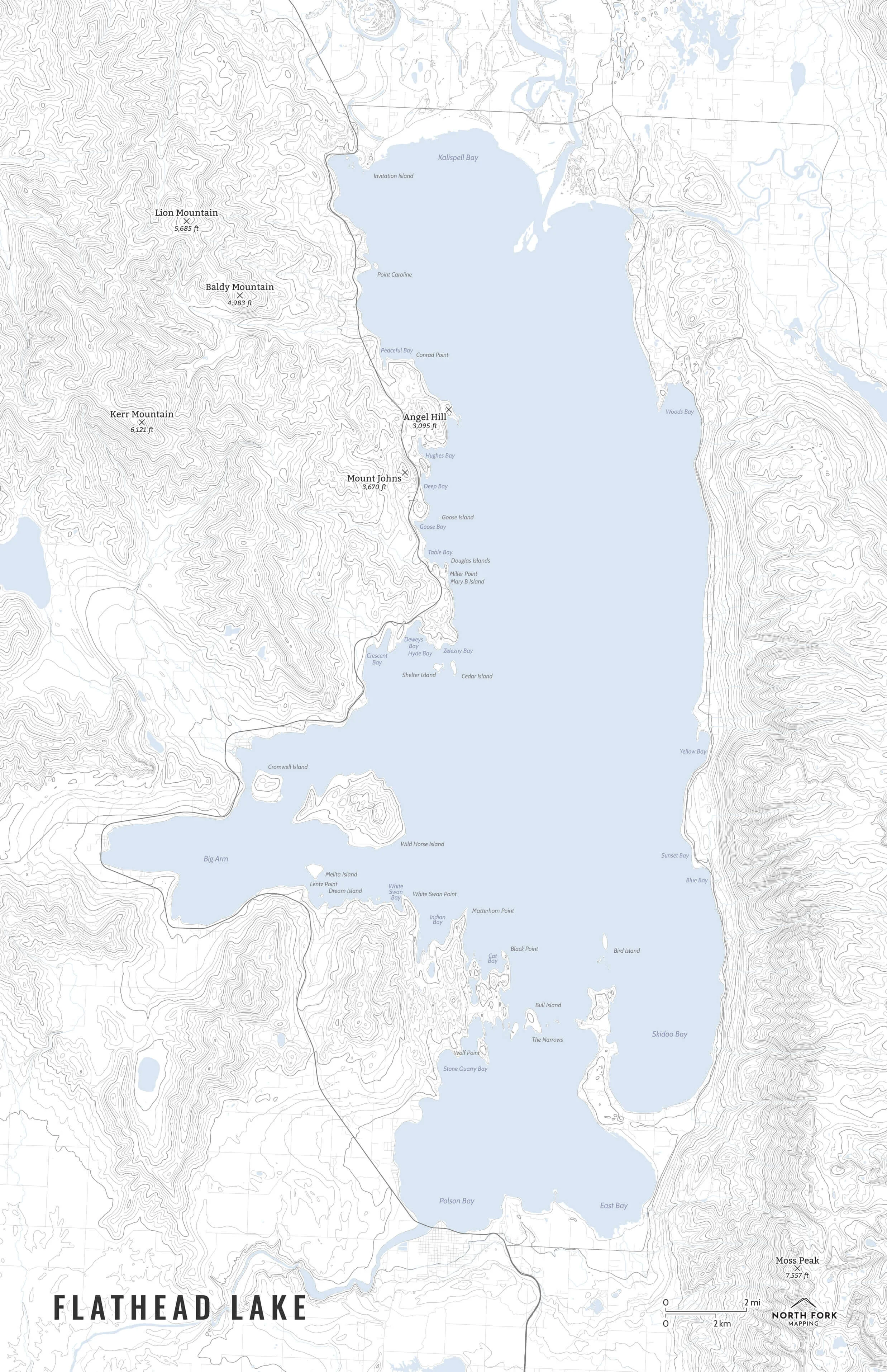
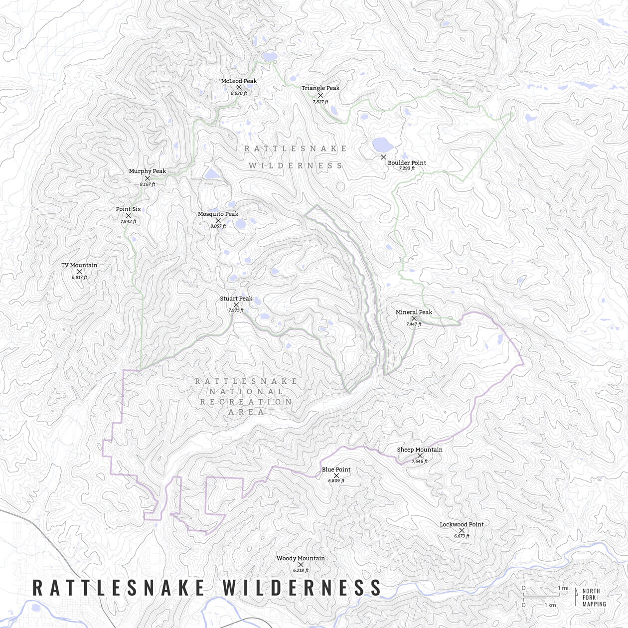
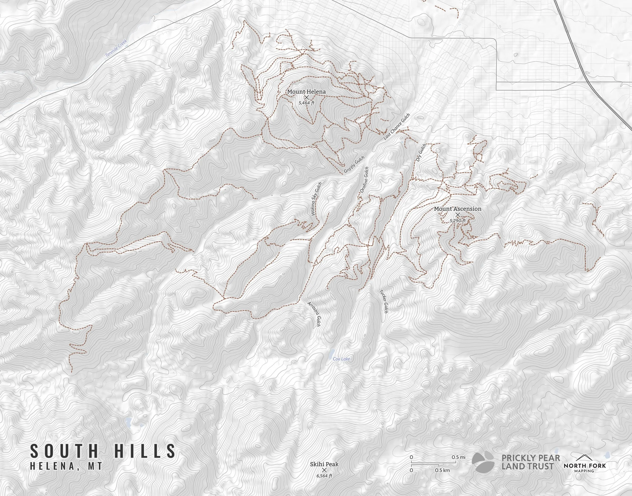
Pacific Crest Trail
From Campo, California to the Canadian border, this map covers the entire length of the Pacific Crest Trail (PCT). Available in three styles although even the “mappiest” is minimalistic to let the landform and the trail itself truly pop.
The Pacific Crest Trail was designated a National Scenic Trail in 1968 and completed in 1993. It passes through California, Oregon, and Washington and spans 2,650 miles. It passes through National Forest and wilderness as well as seven national parks.
See below for descriptions on our three signature styles.
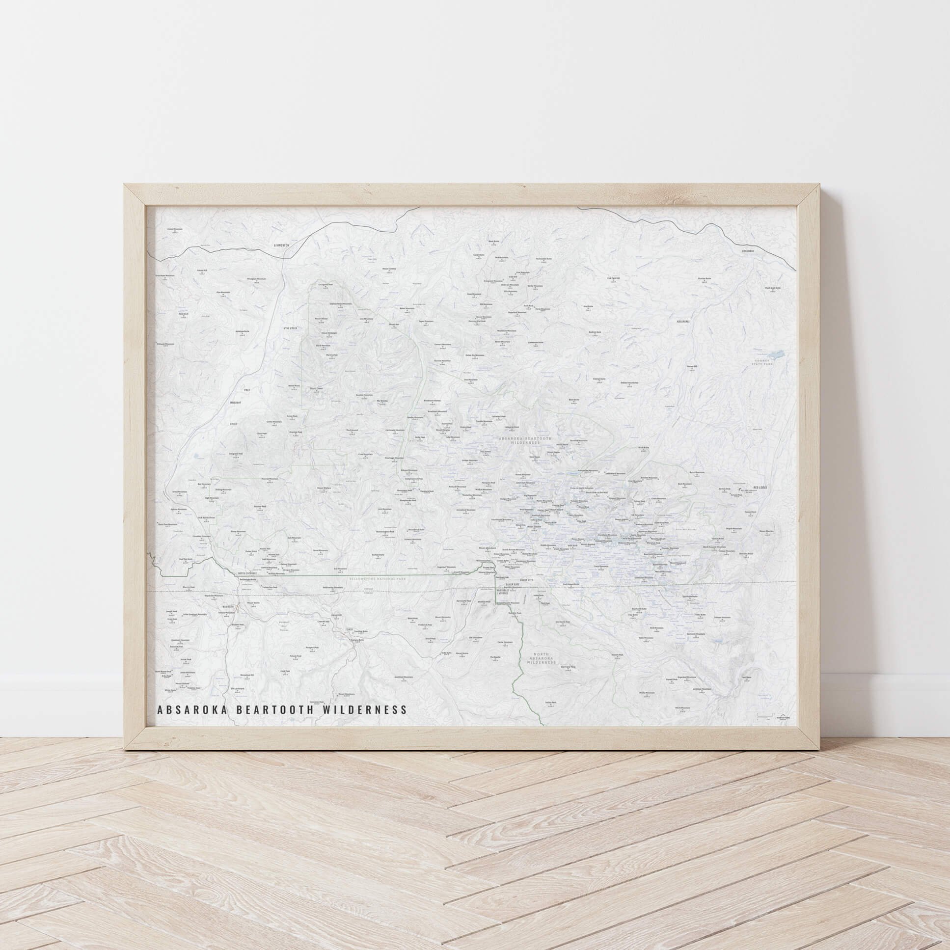
Prints are shown framed for display purposes only.
From Campo, California to the Canadian border, this map covers the entire length of the Pacific Crest Trail (PCT). Available in three styles although even the “mappiest” is minimalistic to let the landform and the trail itself truly pop.
The Pacific Crest Trail was designated a National Scenic Trail in 1968 and completed in 1993. It passes through California, Oregon, and Washington and spans 2,650 miles. It passes through National Forest and wilderness as well as seven national parks.
See below for descriptions on our three signature styles.
Prints are shown framed for display purposes only.
Pacific Crest Trail Map!
We have three signature styles of map depending on what you’re looking for:
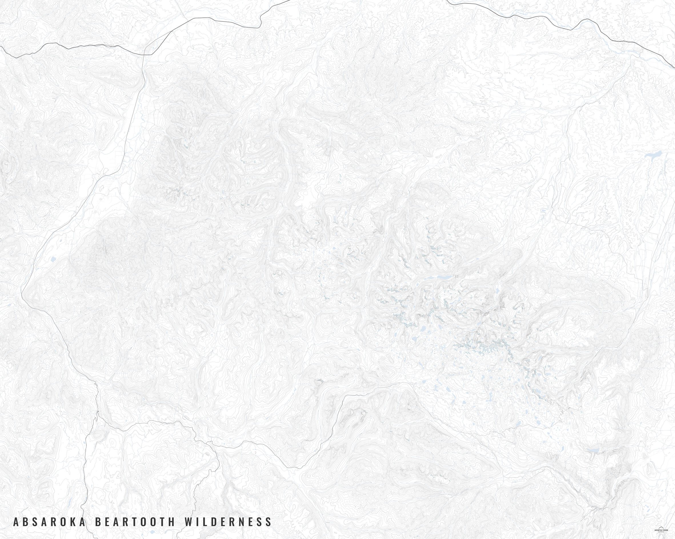
“Minimalist” - Title and, of course, the Pacific Crest Trail. Clean, simple, elegant. More of an “art” look than a “map” look (although it is spatially accurate).
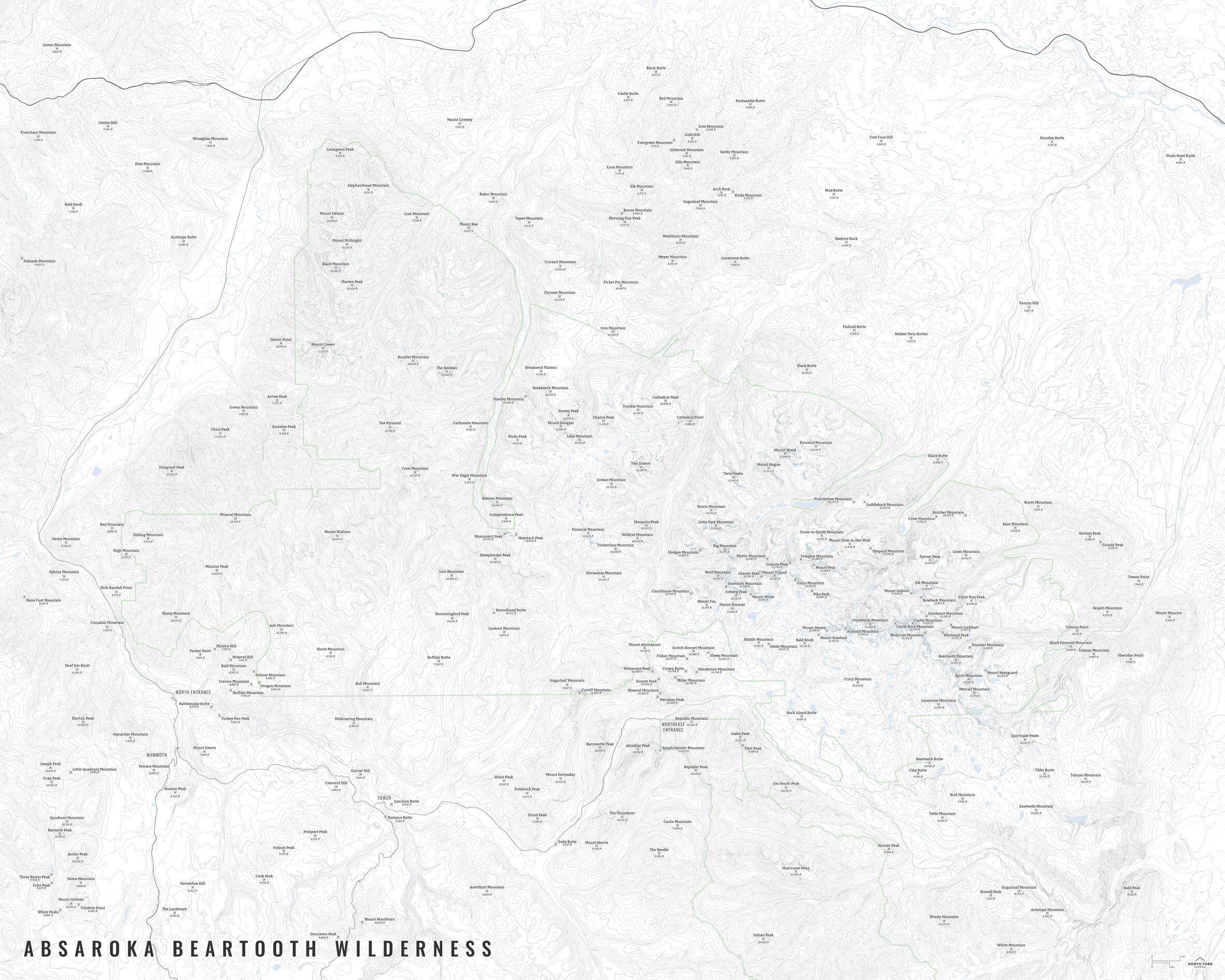
“Just The Basics” - Adding onto the minimalist style with a hillshade underneath to give the feel of the topography, major lakes, and the ocean. A basic map.
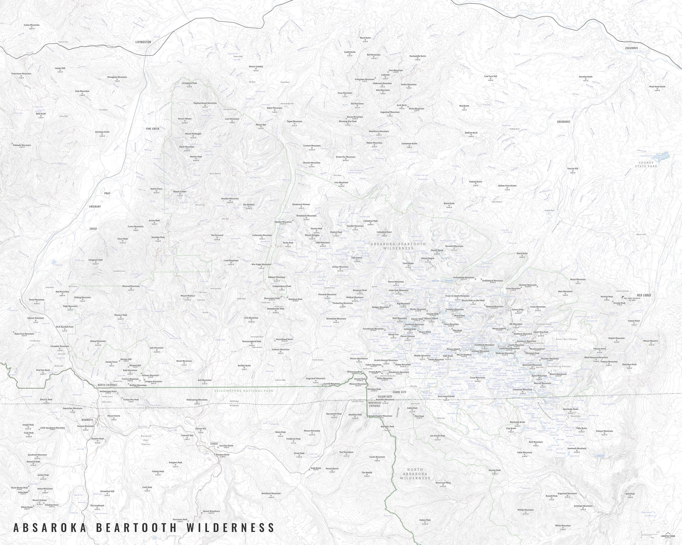
“All The Things” - Just as it sounds. The mappiest of them all. Adds in the state boundaries and labels as well as the surrounding states masked so that they’re still there, but don’t pop as much as the states that the Pacific Crest Trail runs through.