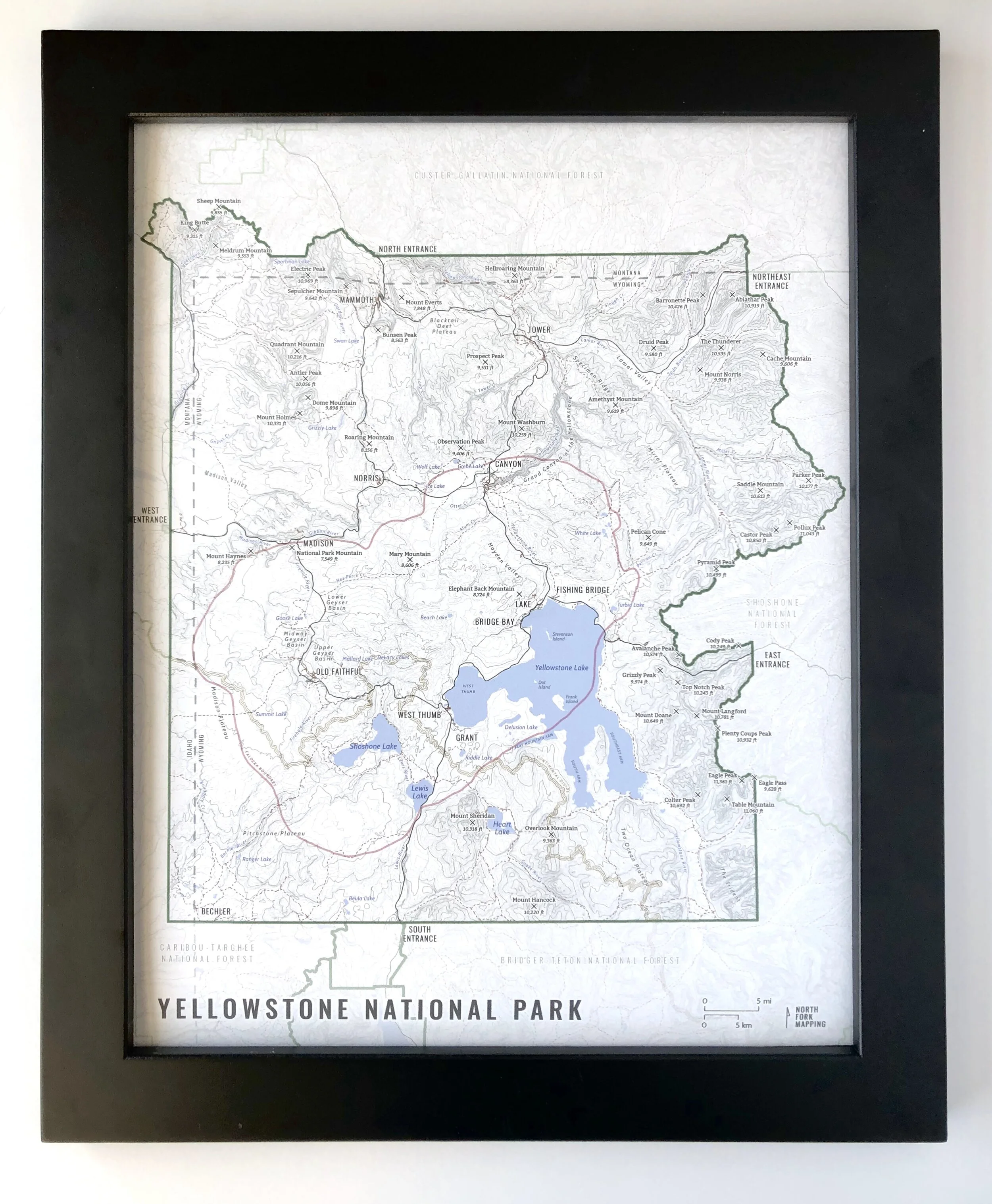
Image 1 of 9
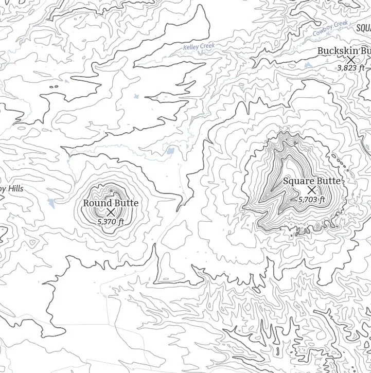
 Image 2 of 9
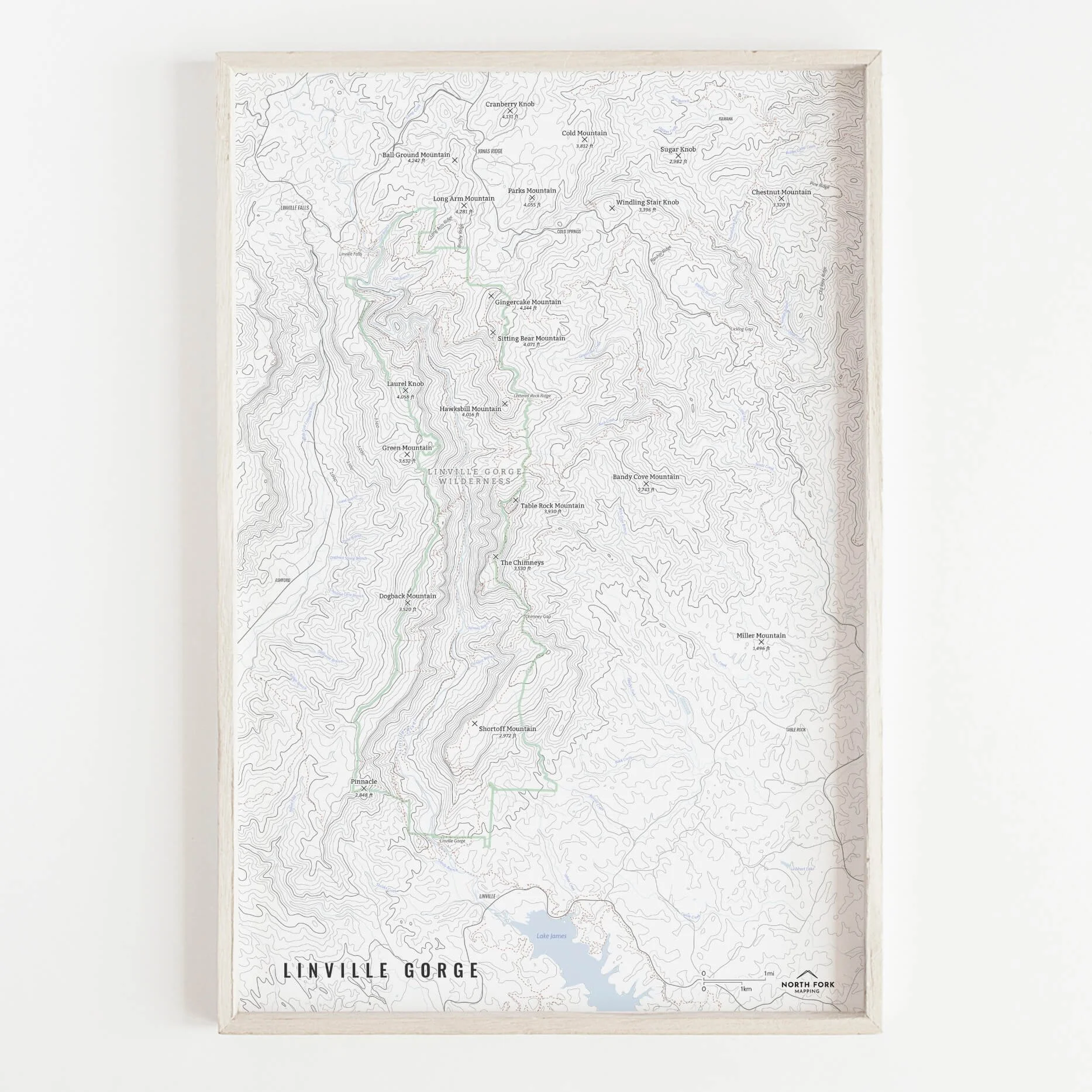
 Image 3 of 9
Flathead Lake Map!
We have three signature styles of map depending on what you’re looking for:
“Minimalist” - This map has the title as well as hydrology and contour lines. Clean, simple, elegant. More of an “art” look than a “map” look.
“Just The Basics” - Adding onto the minimalist style with a road network for reference, mountain summit points, lake bays and points, and a scale bar. A basic map.
“All The Things” - Just as it sounds. The mappiest of them all. Adds in trails, lake labels, stream labels, town labels, Flathead Reservation boundary and label, State Park boundaries and labels, and common place name labels.