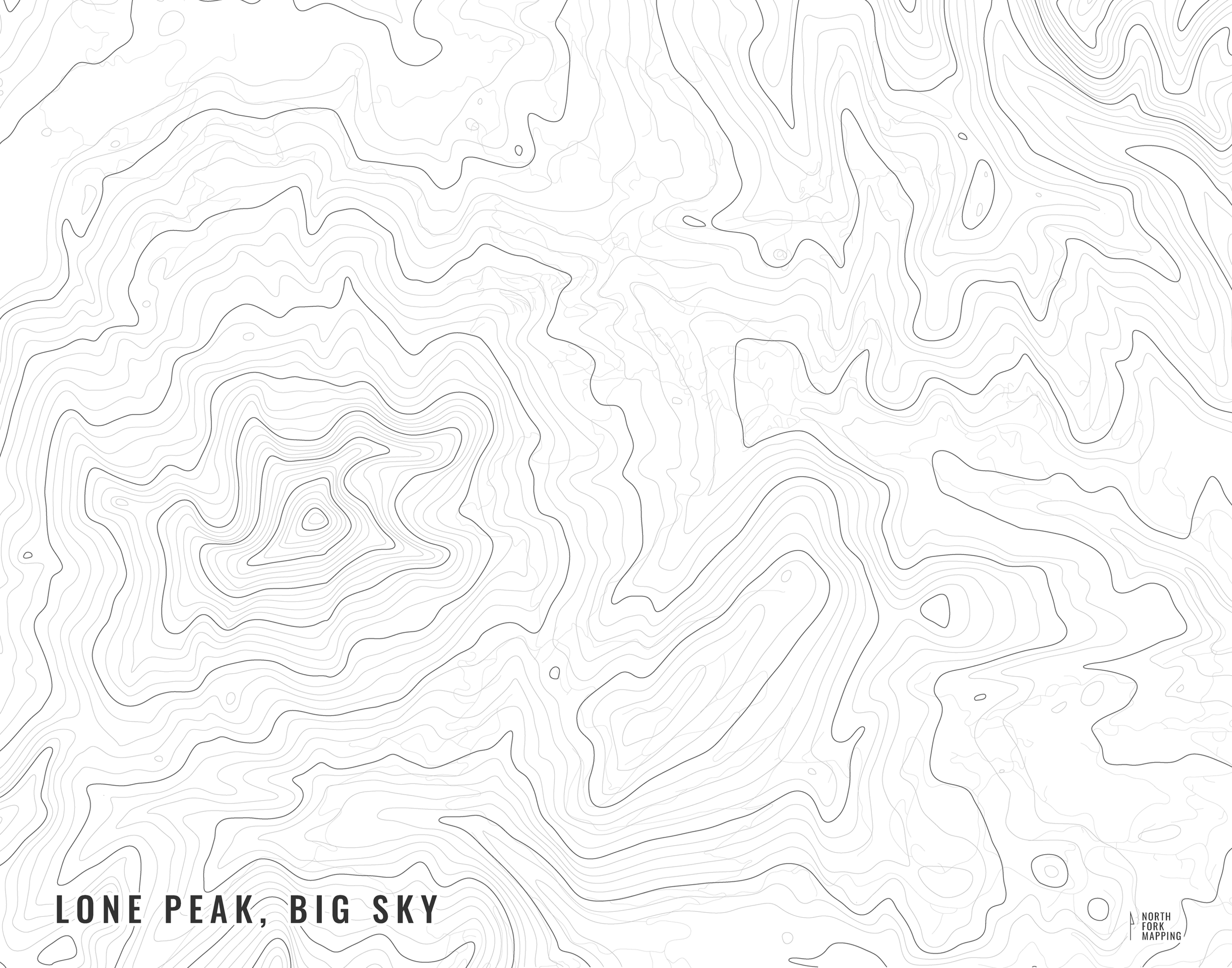
Flint Creek Range
A map of the Flint Creek Range in western Montana.
The Flint Creek Range is one of the smaller, lesser-known range in Montana. It sits between Drummond to the north, Anaconda to the south, Philipsburg to the west, and Deer Lodge to the east. The range is also home to Discovery Ski area and Lost Creek State Park.
See below for descriptions on our three signature styles.
Prints are shown framed for display purposes only.
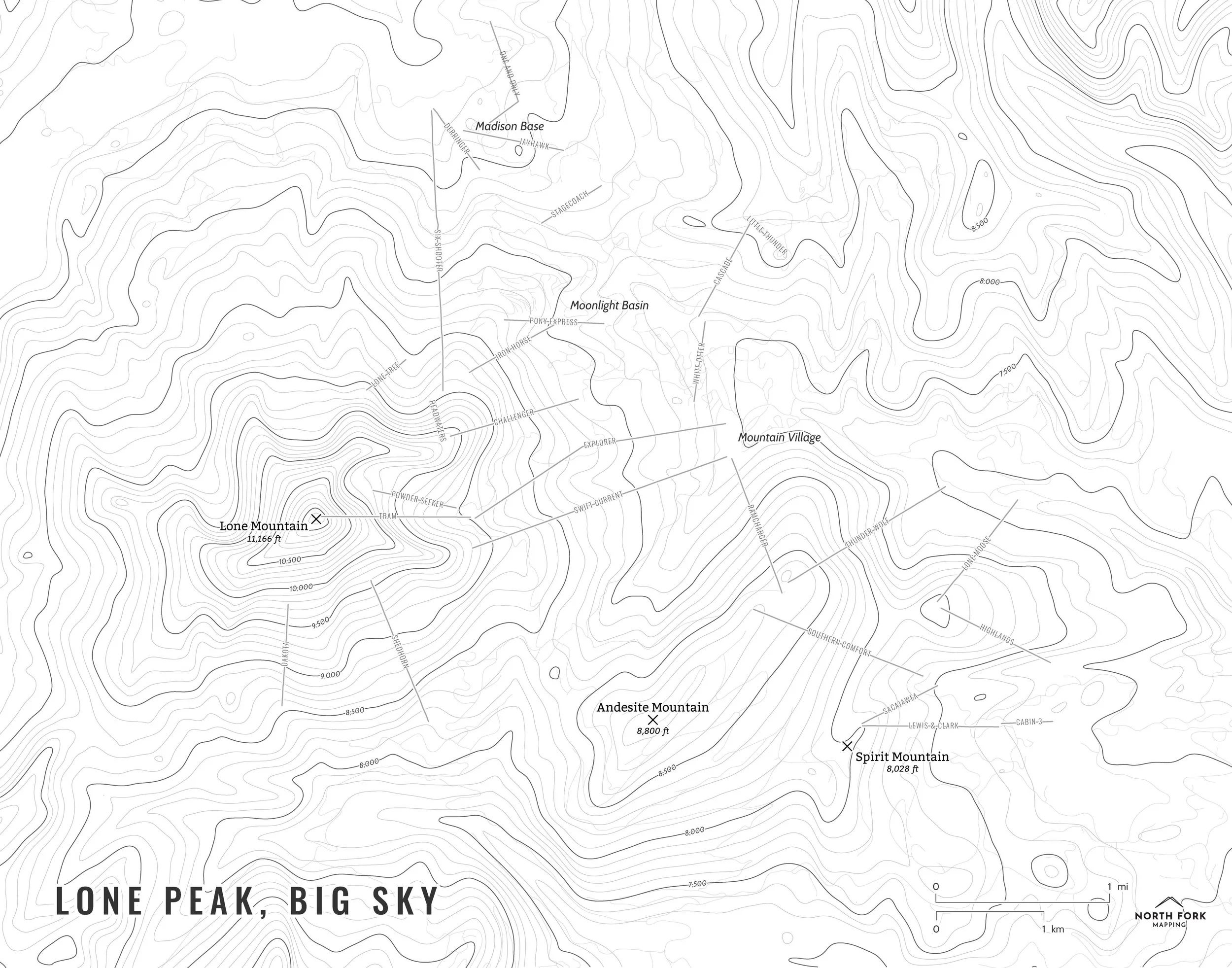
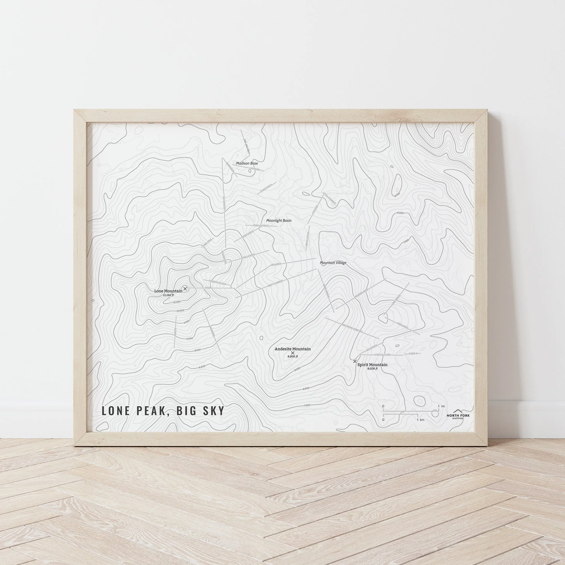
A map of the Flint Creek Range!
We have three signature styles of map depending on what you’re looking for:
“Minimalist” - This map has the title as well as hydrology and contour lines. Clean, simple, elegant. More of an “art” look than a “map” look.
“Just The Basics” - Adding onto the minimalist style with a road network for reference, mountain summit points, and a scale bar. A basic map.
“All The Things” - Just as it sounds. The mappiest of them all. Adds in trails, lake labels, stream labels, town labels, state park and NPS boundaries, wilderness boundaries and labels, and common place name labels.