Arches National Park
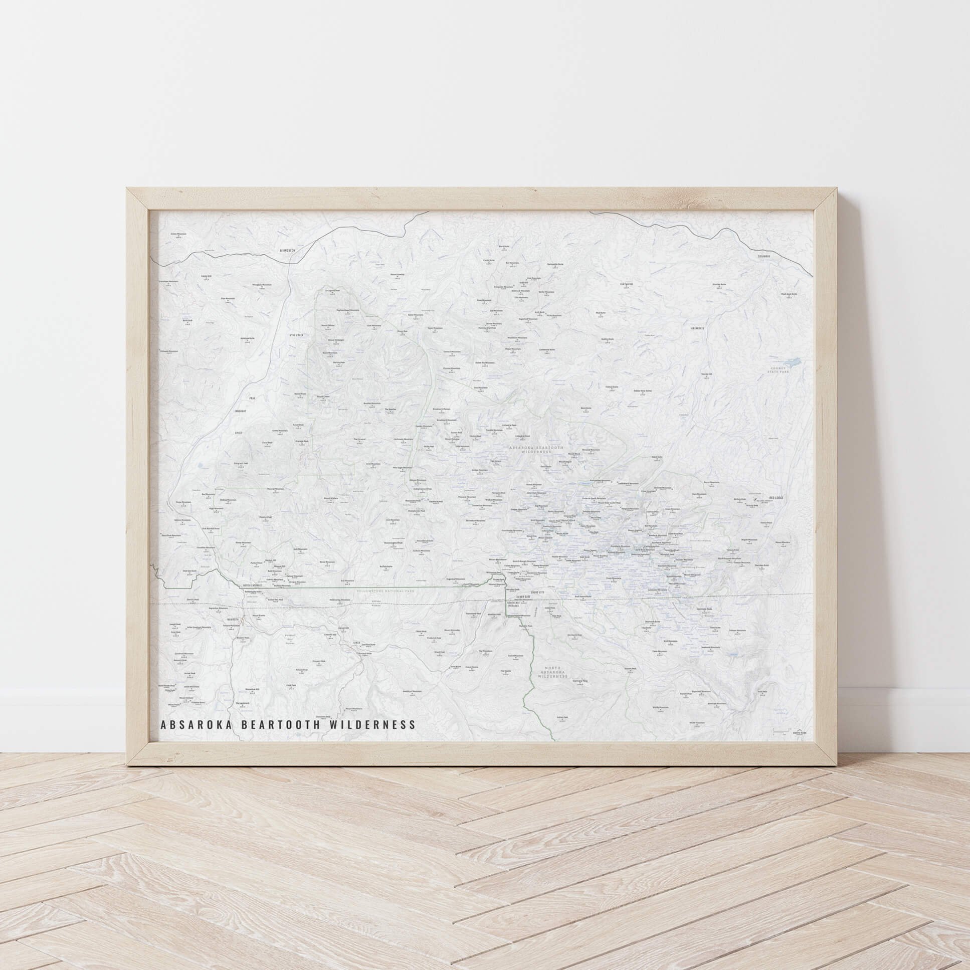
A map of Arches National Park. From Delicate Arch to Devils Garden, we’ve got you covered with this map. Arches National Park has more than 2,000 natural sandstone arches and is right next to both Moab, Utah and the Colorado River. It was named a national monument in 1929 and redesignated as a national park in 1971.
See below for descriptions on our three signature styles.
Prints are shown framed for display purposes only.
Arches National Park!
We have three signature styles of map depending on what you’re looking for:
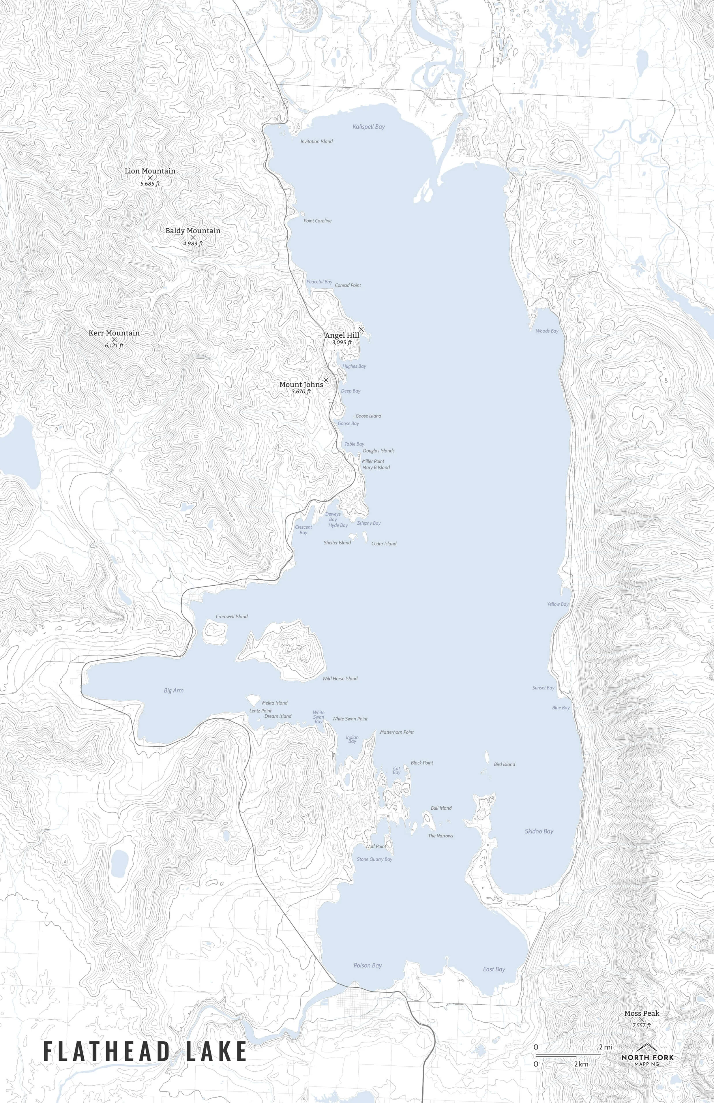
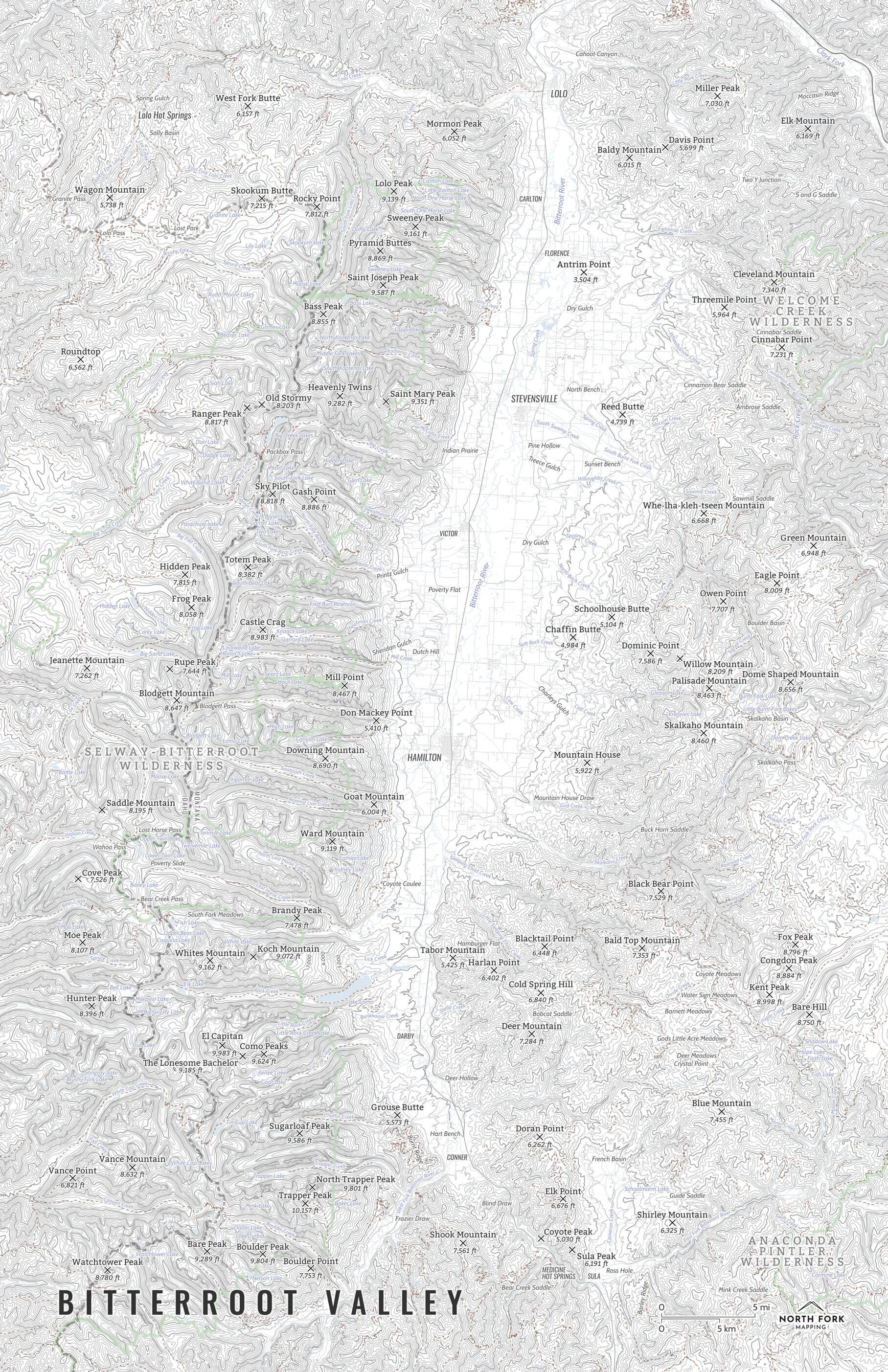
“Minimalist” - Title and topo lines with a very faint road network underneath for reference as well as hydrology and the park boundary. Clean, simple, elegant. More of an “art” look than a “map” look.
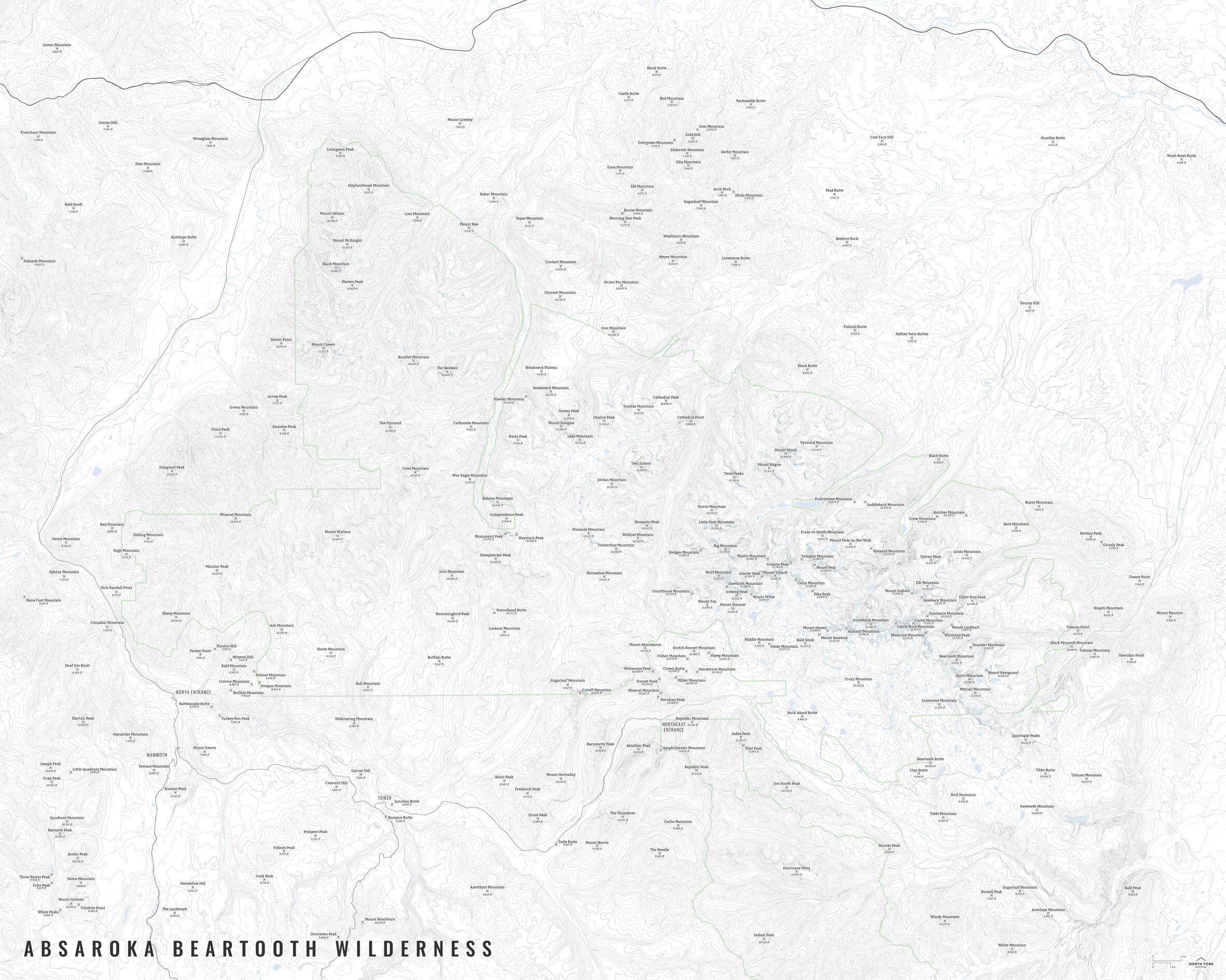
“Just The Basics” - Adding onto the minimalist style with summit names and elevations and entrance areas as well as a scale bar. A basic map.
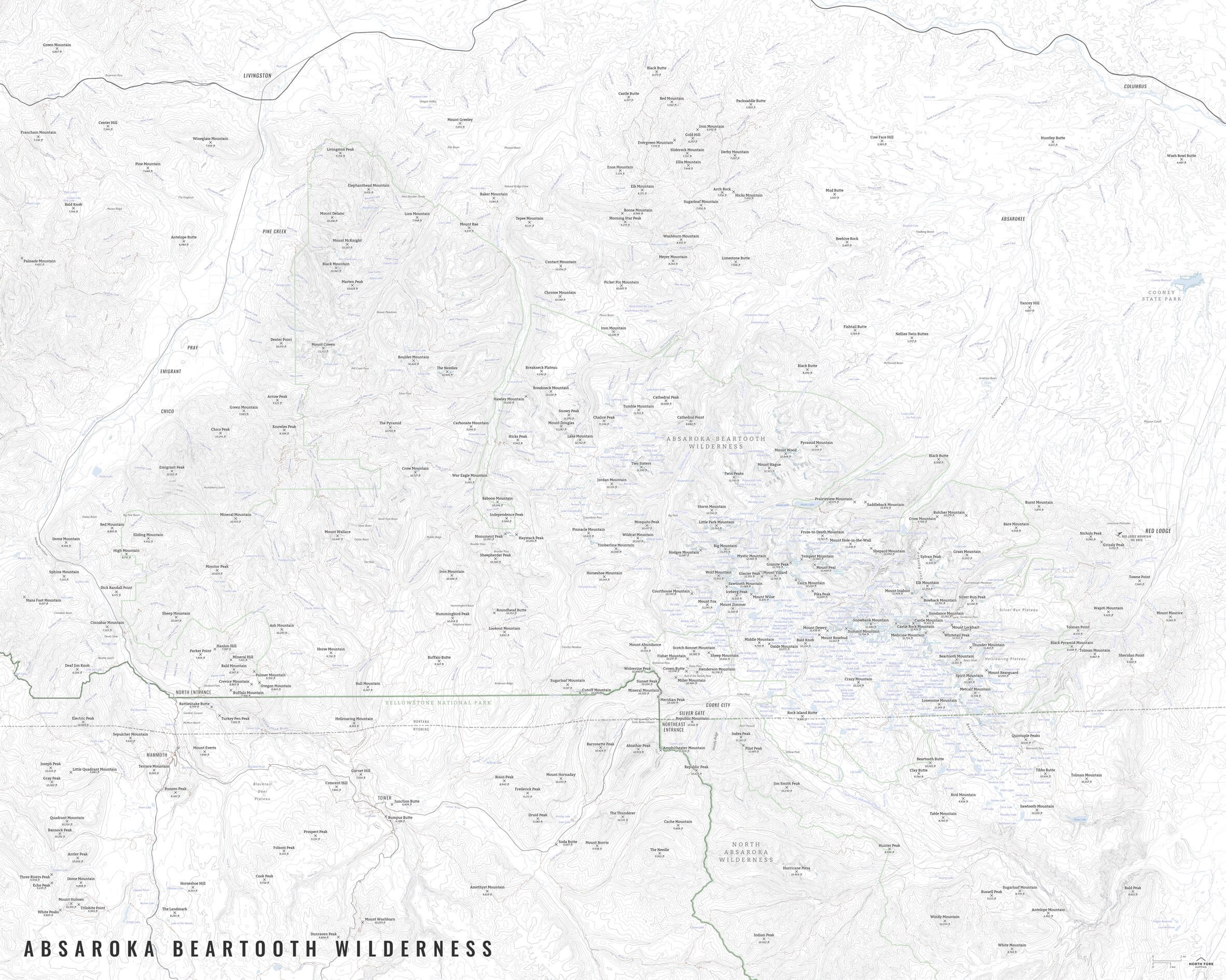
“All The Things” - Just as it sounds. The mappiest of them all. Adding common place names, hydrology labels, trails, and other elements.