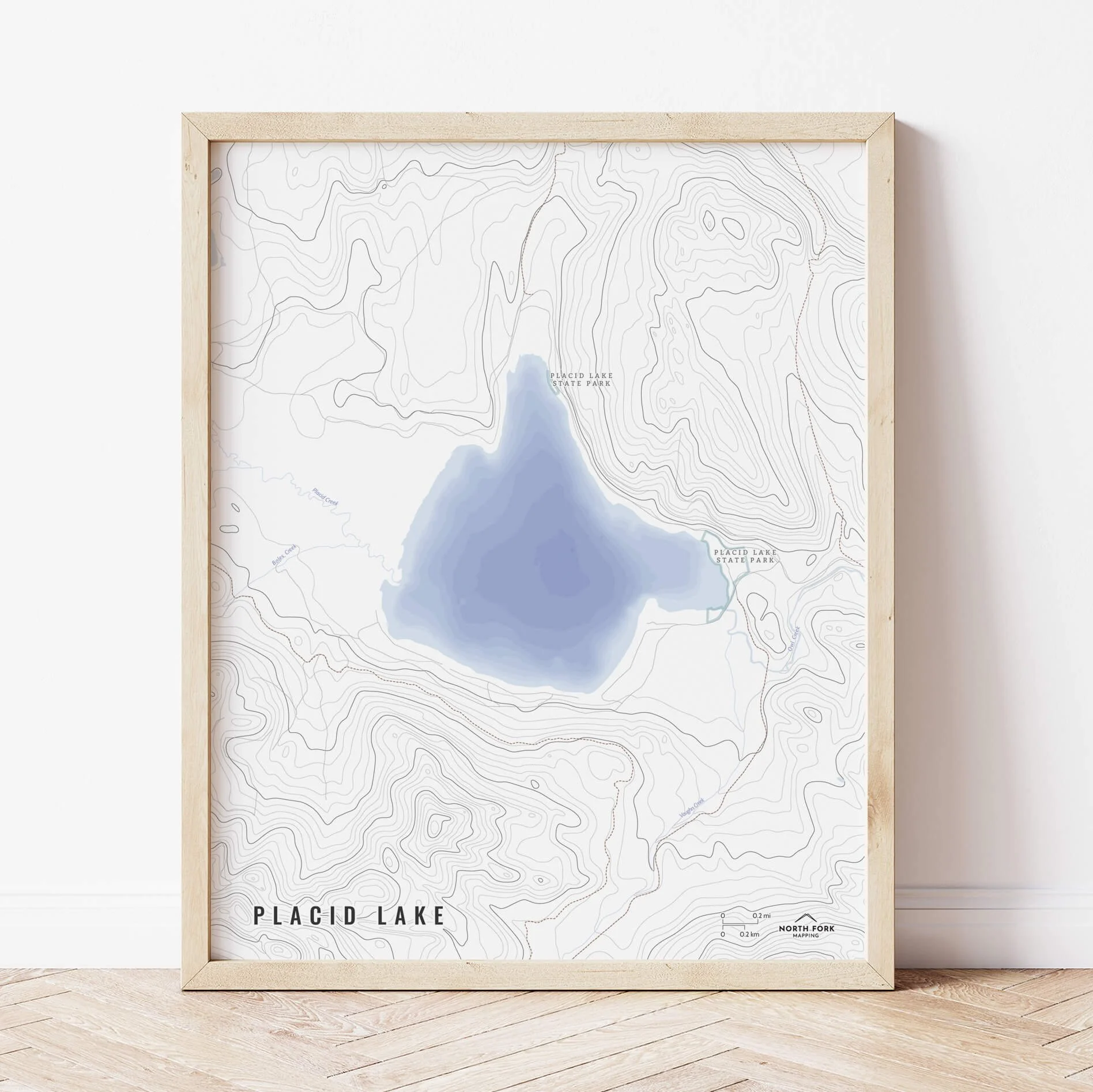
Image 1 of 5
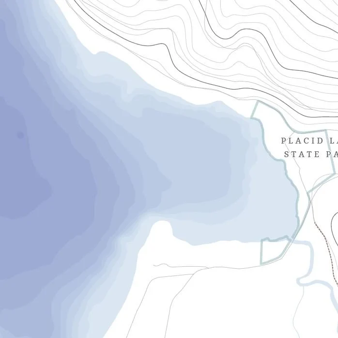
 Image 2 of 5
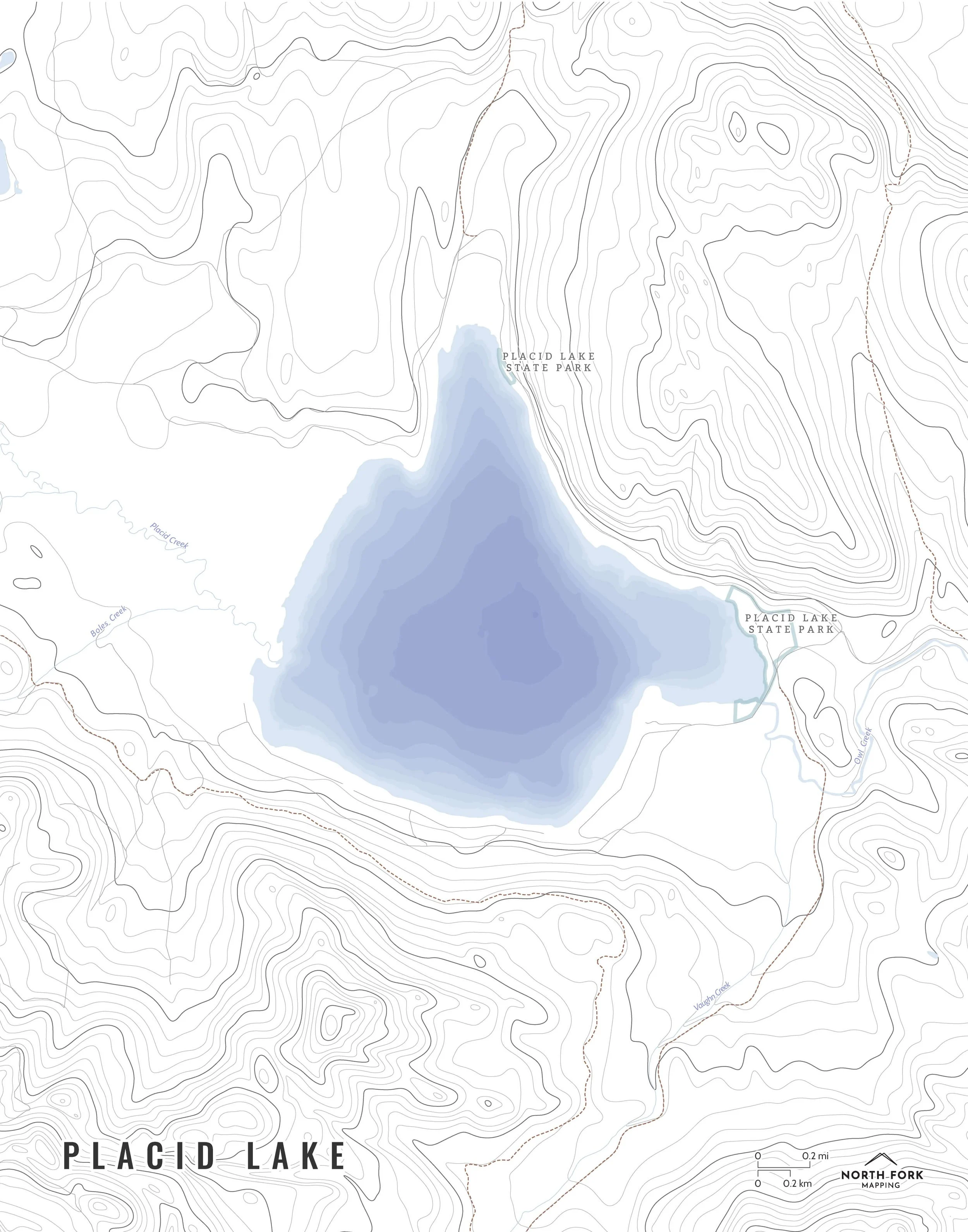
 Image 3 of 5
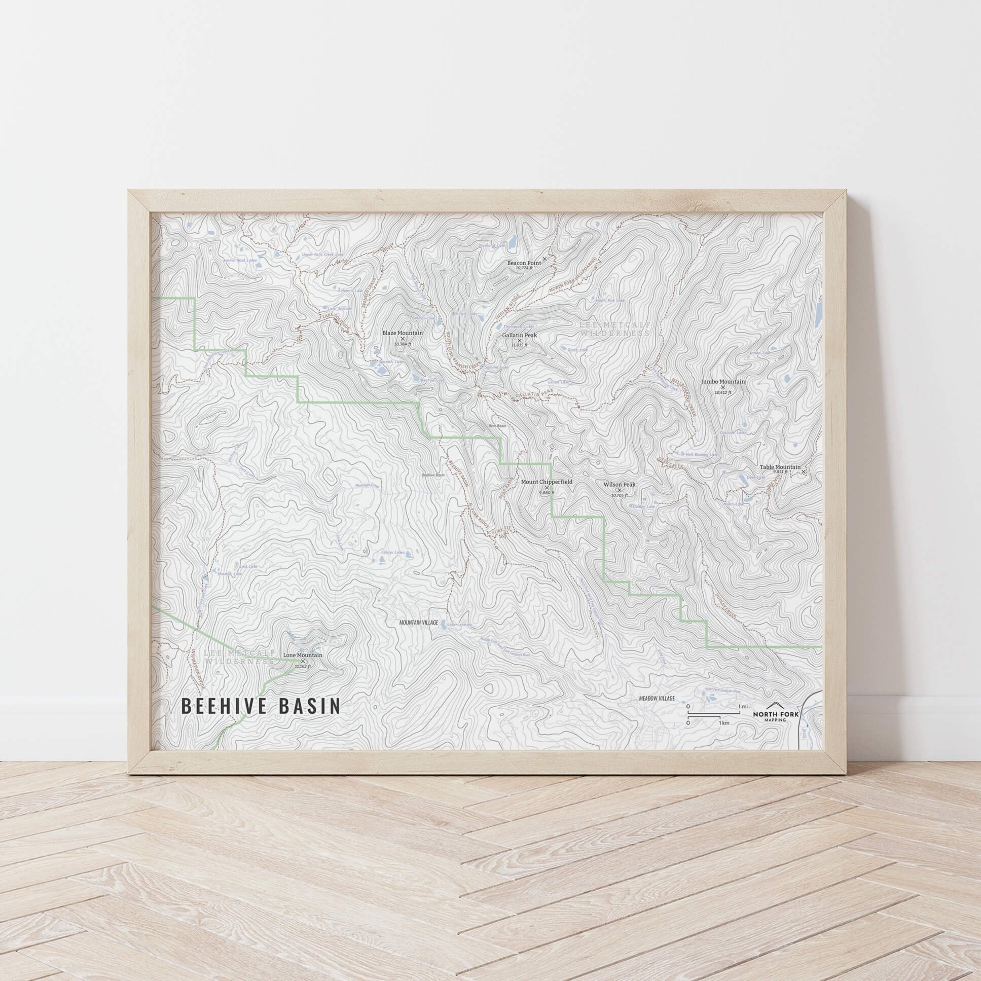
 Image 4 of 5
 Image 5 of 5
Yellowstone National Park!
We have three signature styles of map depending on what you’re looking for:
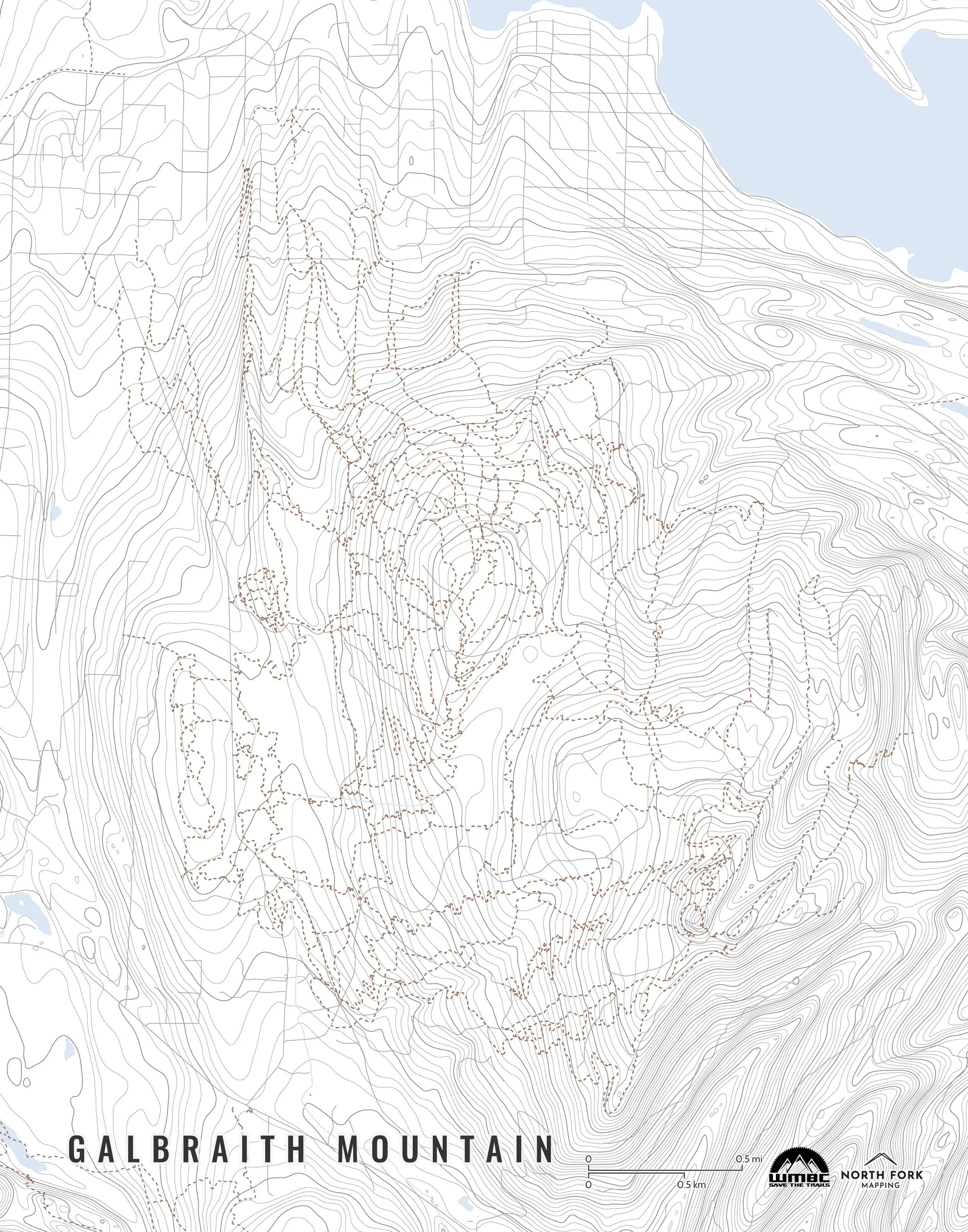
“Minimalist” - Title and topo lines with a very faint road network underneath for reference as well as hydrology and the park boundary. Clean, simple, elegant. More of an “art” look than a “map” look.
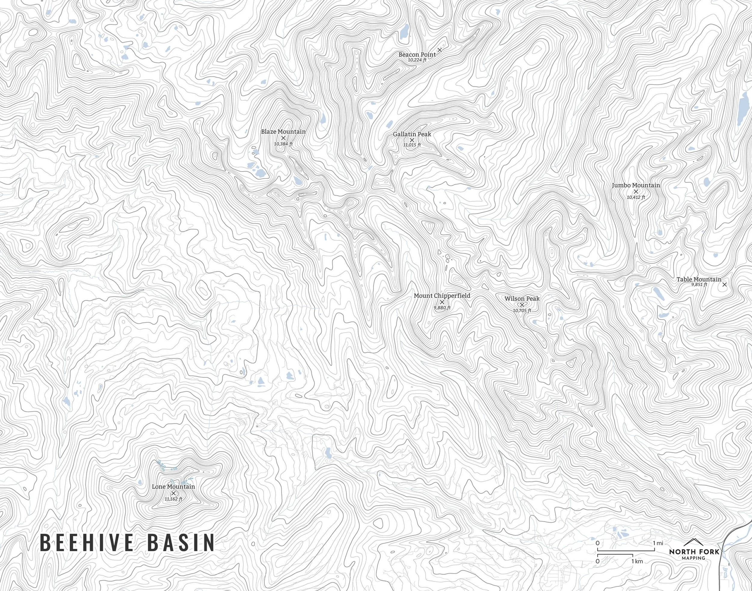
“Just The Basics” - Adding onto the minimalist style with lake labels such as bays and islands as well as a scale bar. A basic map.
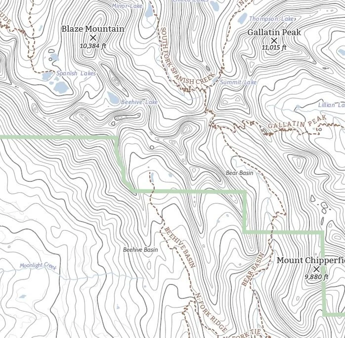
“All The Things” - Just as it sounds. The mappiest of them all. Adding common place names, summit names and elevations, other lake labels, developed areas, stream labels, trails, and other elements.