Wind River Range
A map of The Winds!
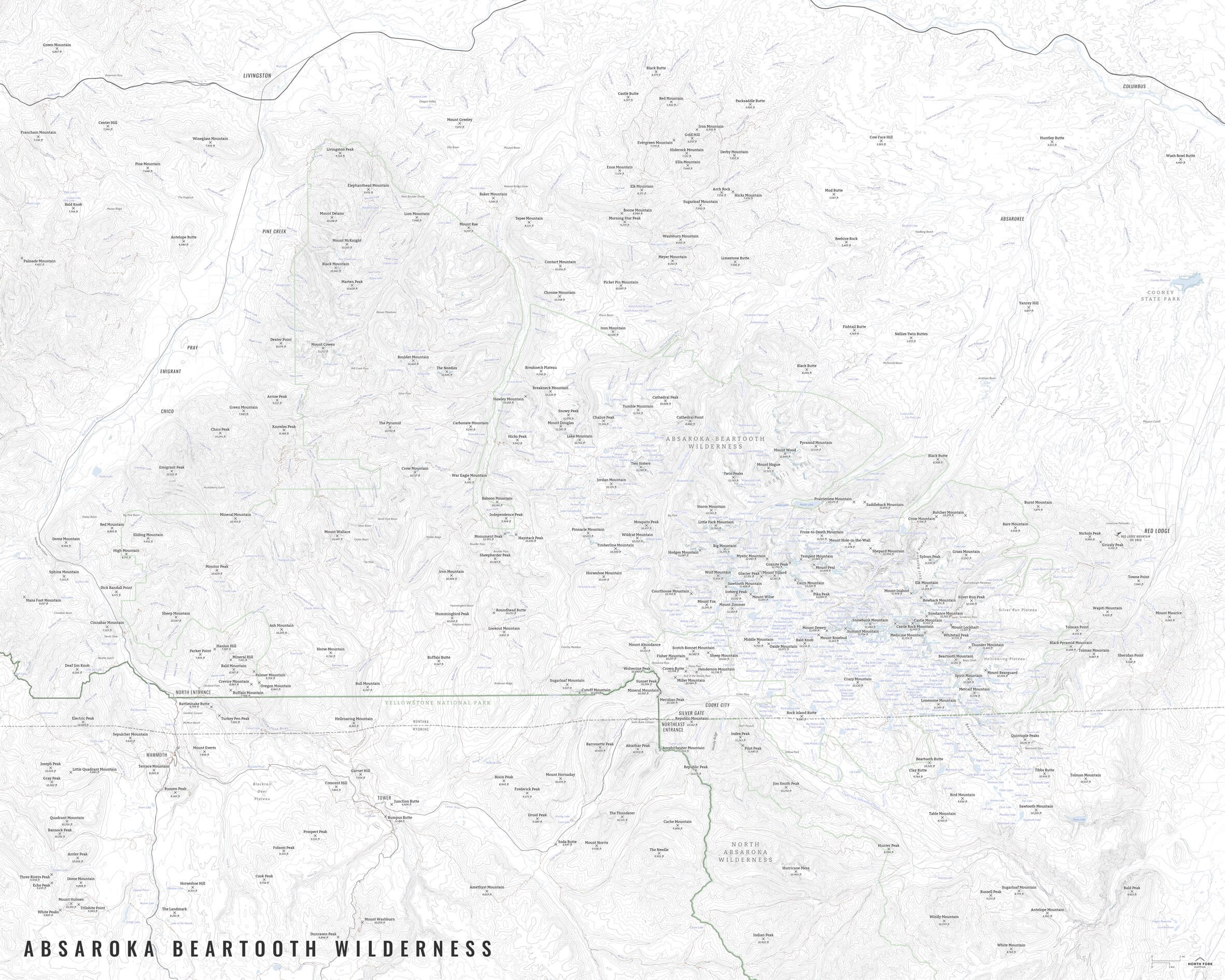
From Dubois, Wyoming to Cirque of the Towers, we’ve got you covered with this map. The Winds include Gannett Peak, the highest peak in Wyoming, as well as the next 19 highest peaks in Wyoming with the exception of Grand Teton, and also several of the largest glaciers in the Rocky Mountains. The map covers the Bridger, Fitzpatrick, and Popo Agie Wilderness areas as well as the western portion of the Wind River Reservation. And let’s not forget White Pine Ski Resort, the only ski area in the Winds, and the oldest ski area in Wyoming!
This map is available in 24”x30” and 16”x20.” The text is quite small on the 16”x20” size, so keep that in mind when deciding which size you’d like. The “Just The Basics” and “All The Things“ styles include two inset maps - one of the Cirque of the Towers region and one of the Gannett Peak region - due to the detail and complexity of this map.
See below for descriptions on our three signature styles.
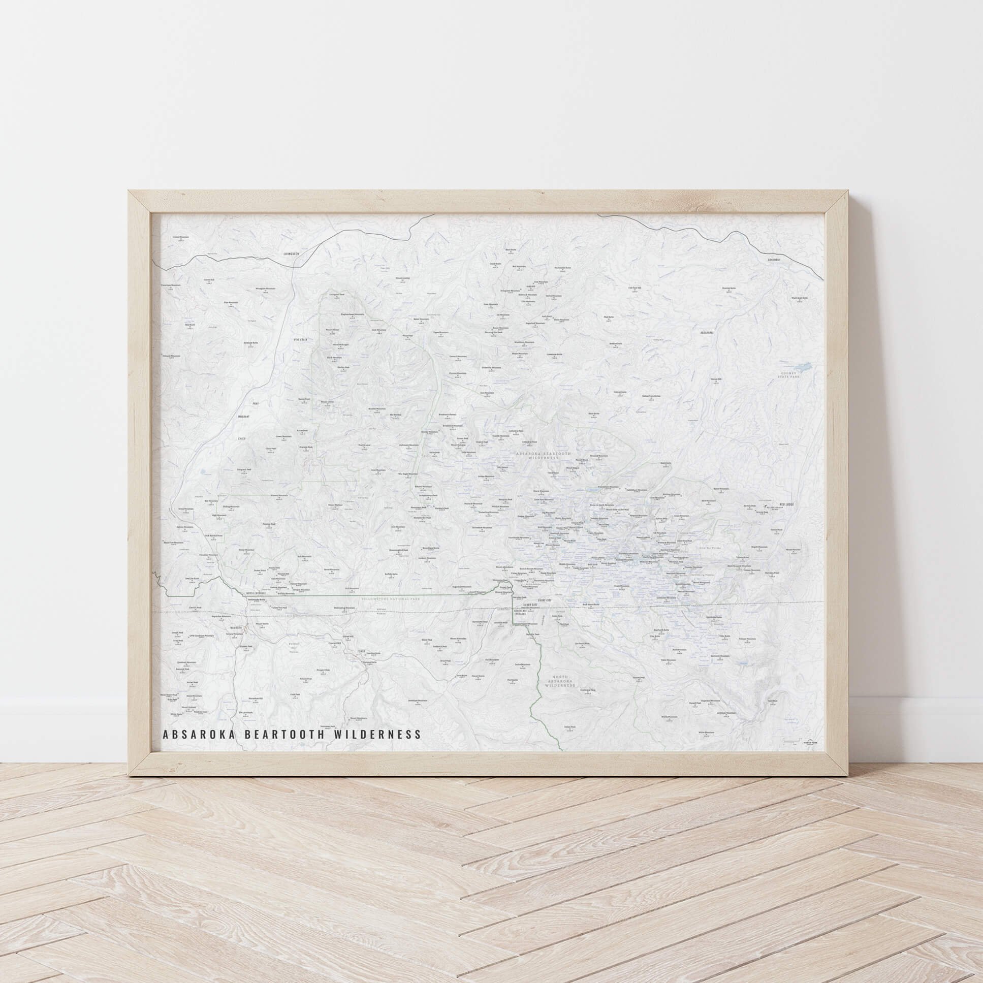
Prints are shown framed for display purposes only.
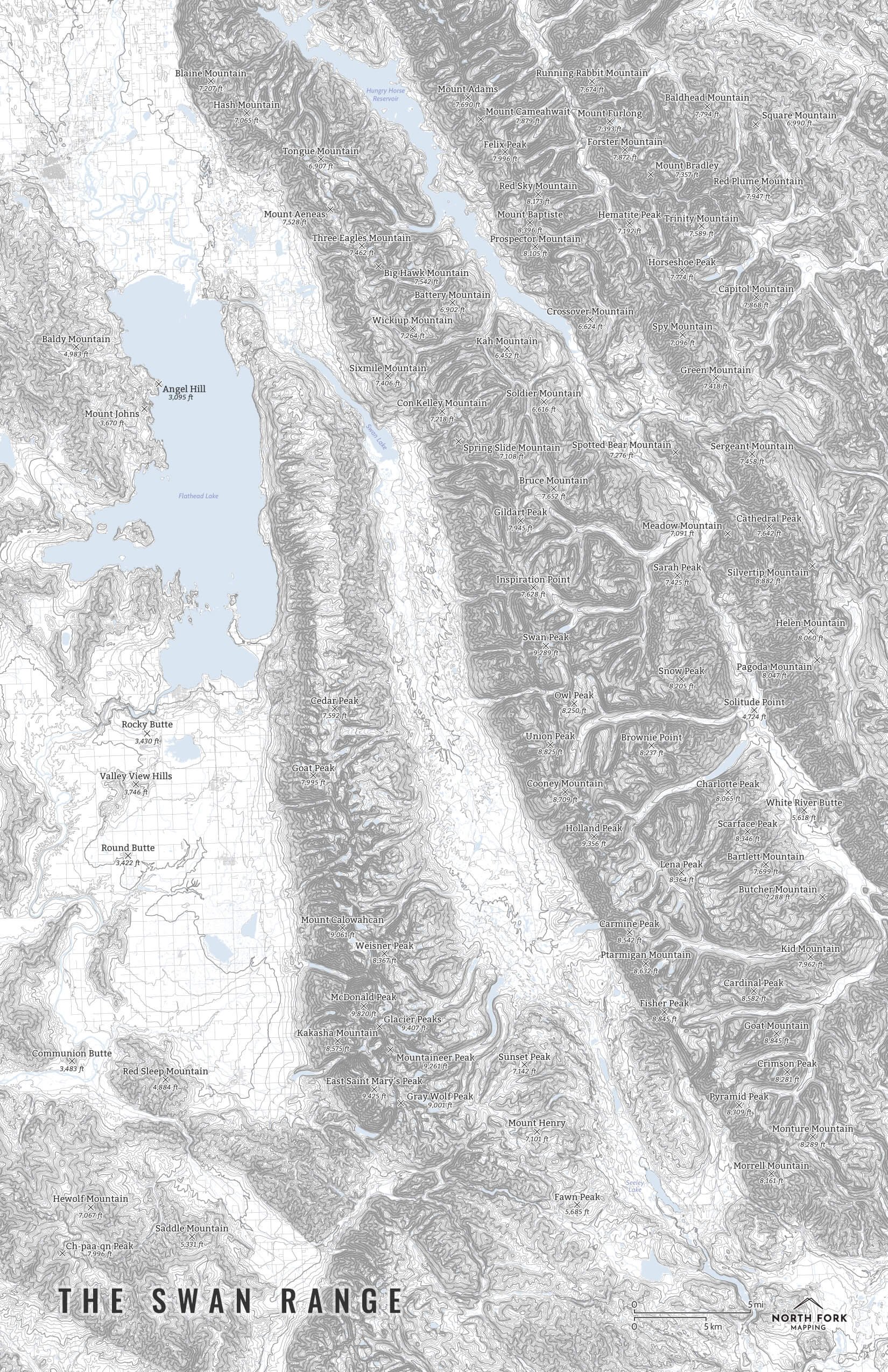
A map of The Winds!
From Dubois, Wyoming to Cirque of the Towers, we’ve got you covered with this map. The Winds include Gannett Peak, the highest peak in Wyoming, as well as the next 19 highest peaks in Wyoming with the exception of Grand Teton, and also several of the largest glaciers in the Rocky Mountains. The map covers the Bridger, Fitzpatrick, and Popo Agie Wilderness areas as well as the western portion of the Wind River Reservation. And let’s not forget White Pine Ski Resort, the only ski area in the Winds, and the oldest ski area in Wyoming!
This map is available in 24”x30” and 16”x20.” The text is quite small on the 16”x20” size, so keep that in mind when deciding which size you’d like. The “Just The Basics” and “All The Things“ styles include two inset maps - one of the Cirque of the Towers region and one of the Gannett Peak region - due to the detail and complexity of this map.
See below for descriptions on our three signature styles.
Prints are shown framed for display purposes only.
A map of The Winds!
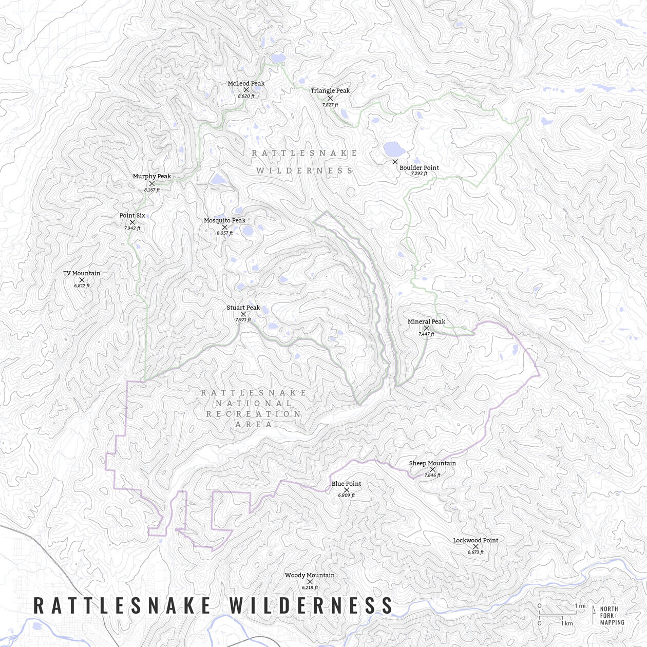
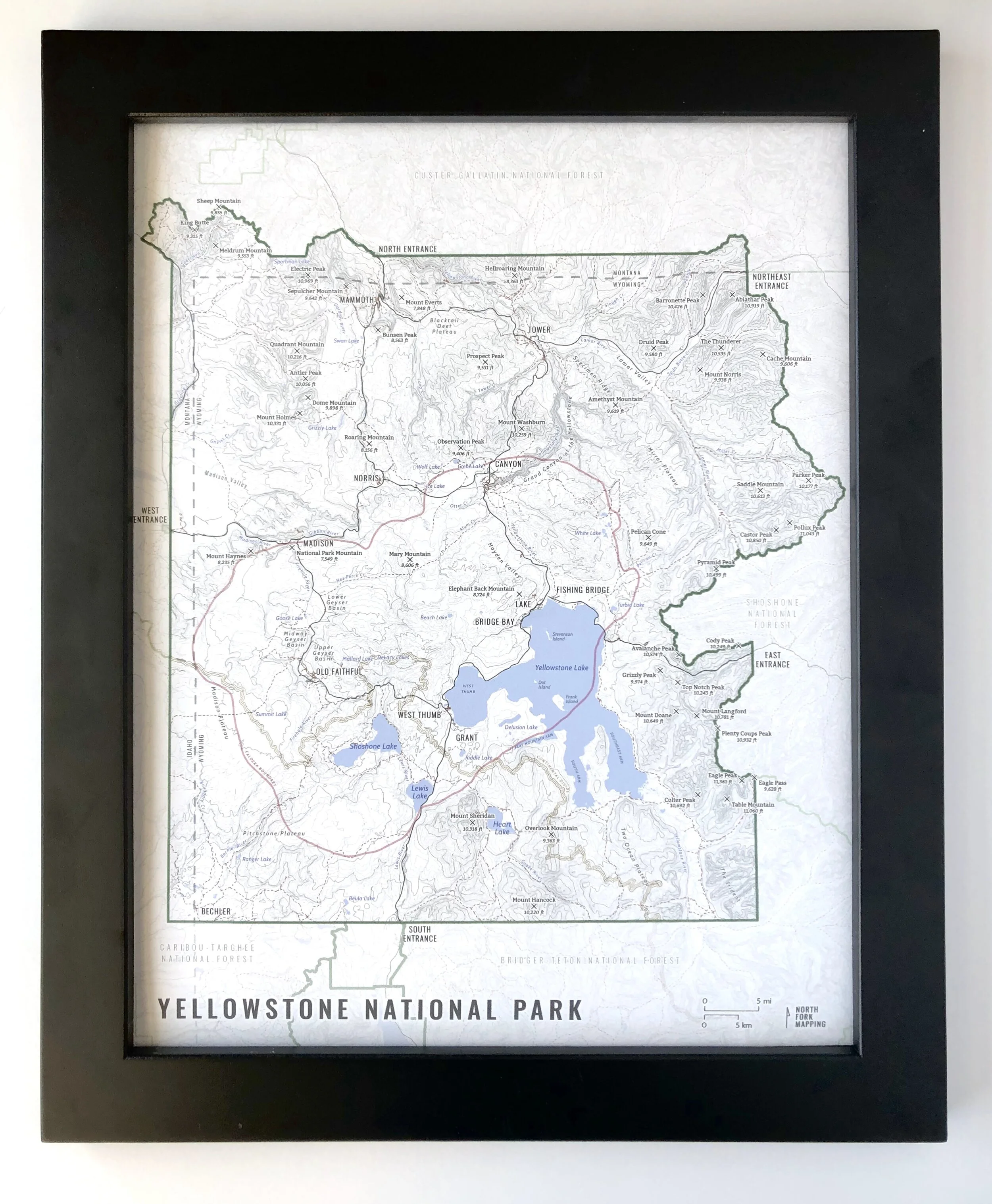
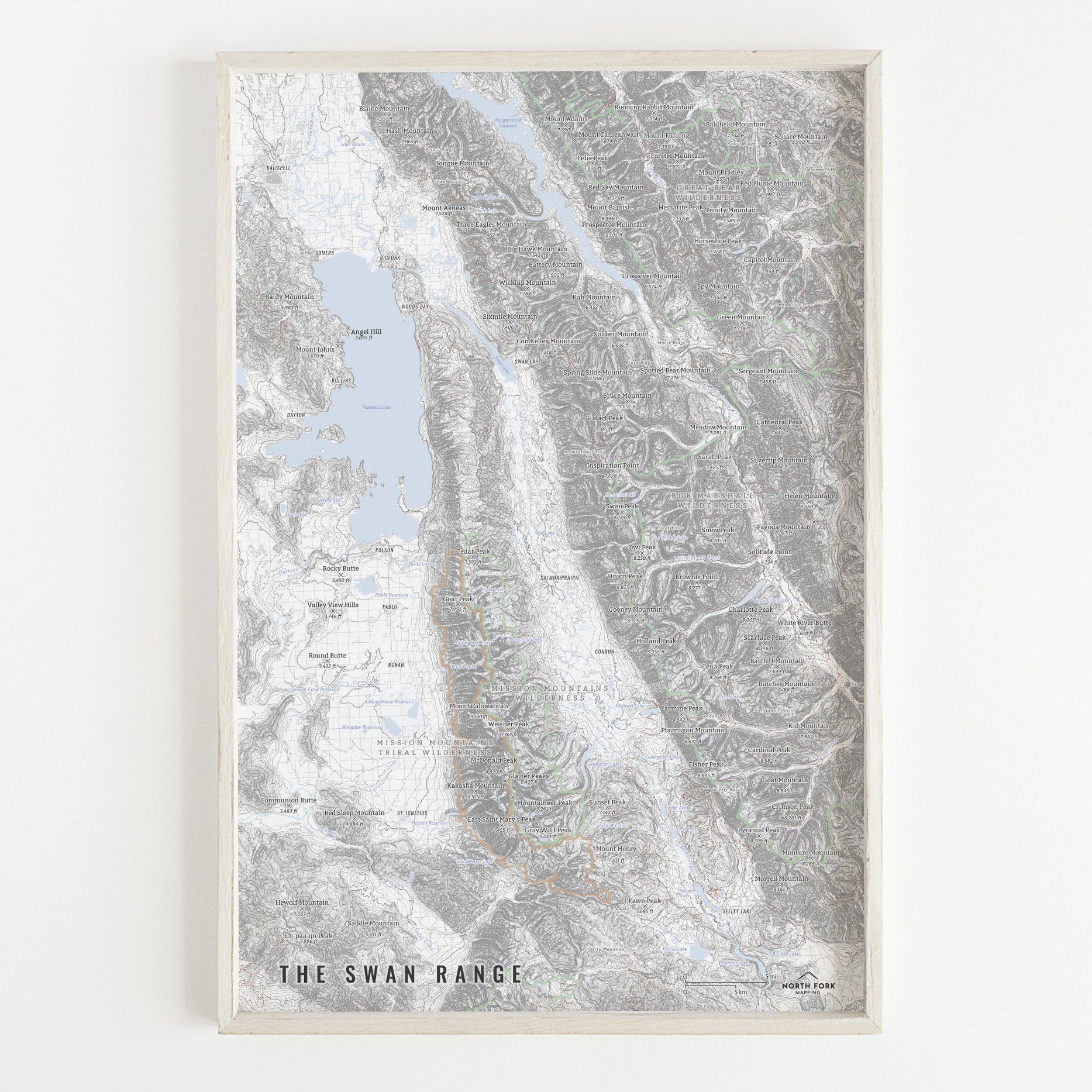
We have three signature styles of map depending on what you’re looking for:
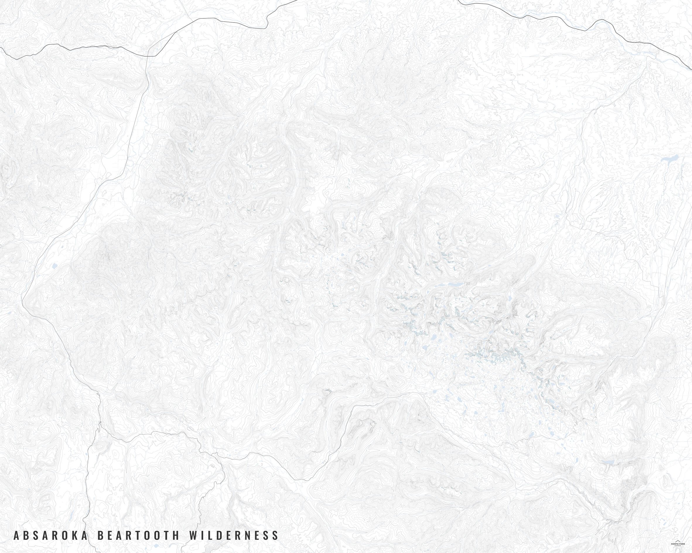
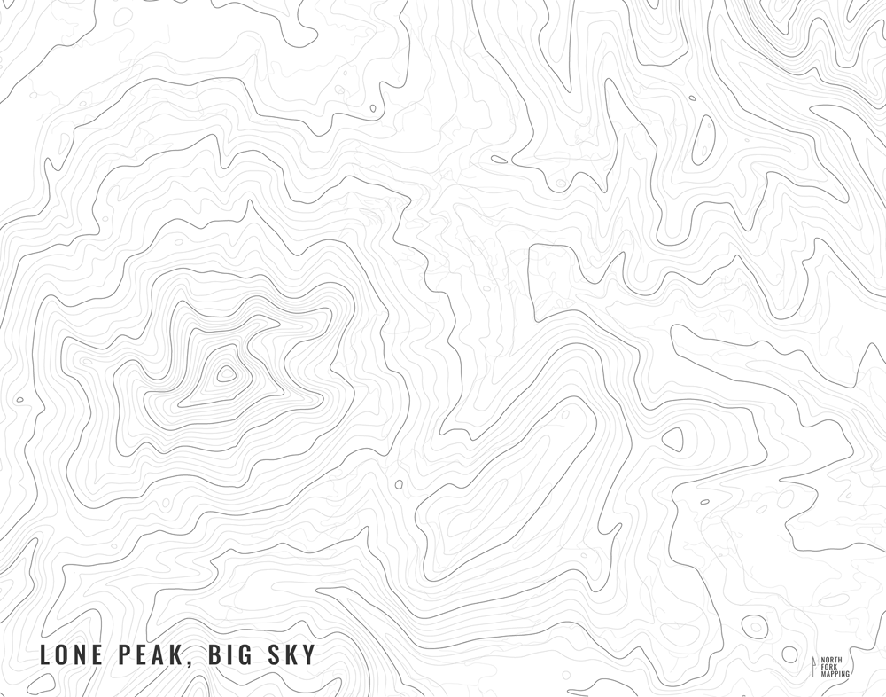
“Minimalist” - This map has the title as well as hydrology, glaciers, and contour lines. Clean, simple, elegant. More of an “art” look than a “map” look.
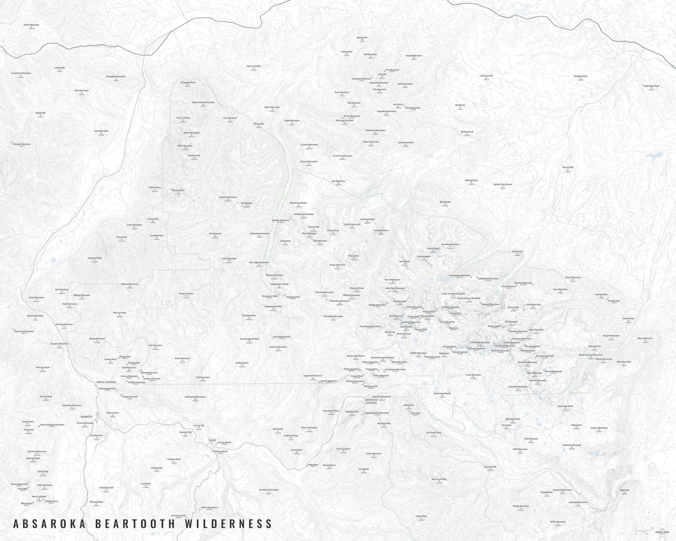
“Just The Basics” - Adding onto the minimalist style with a road network for reference, mountain summit points, and a scale bar. This map adds in the two inset maps for the Cirque of the Towers and Gannett Peak areas. A basic map.
“All The Things” - Just as it sounds. The mappiest of them all. Adds in trails, lake labels, stream labels, glacier labels, town labels, wilderness and Wind River Reservation boundaries and labels, and common place name labels.