 Image 1 of 3
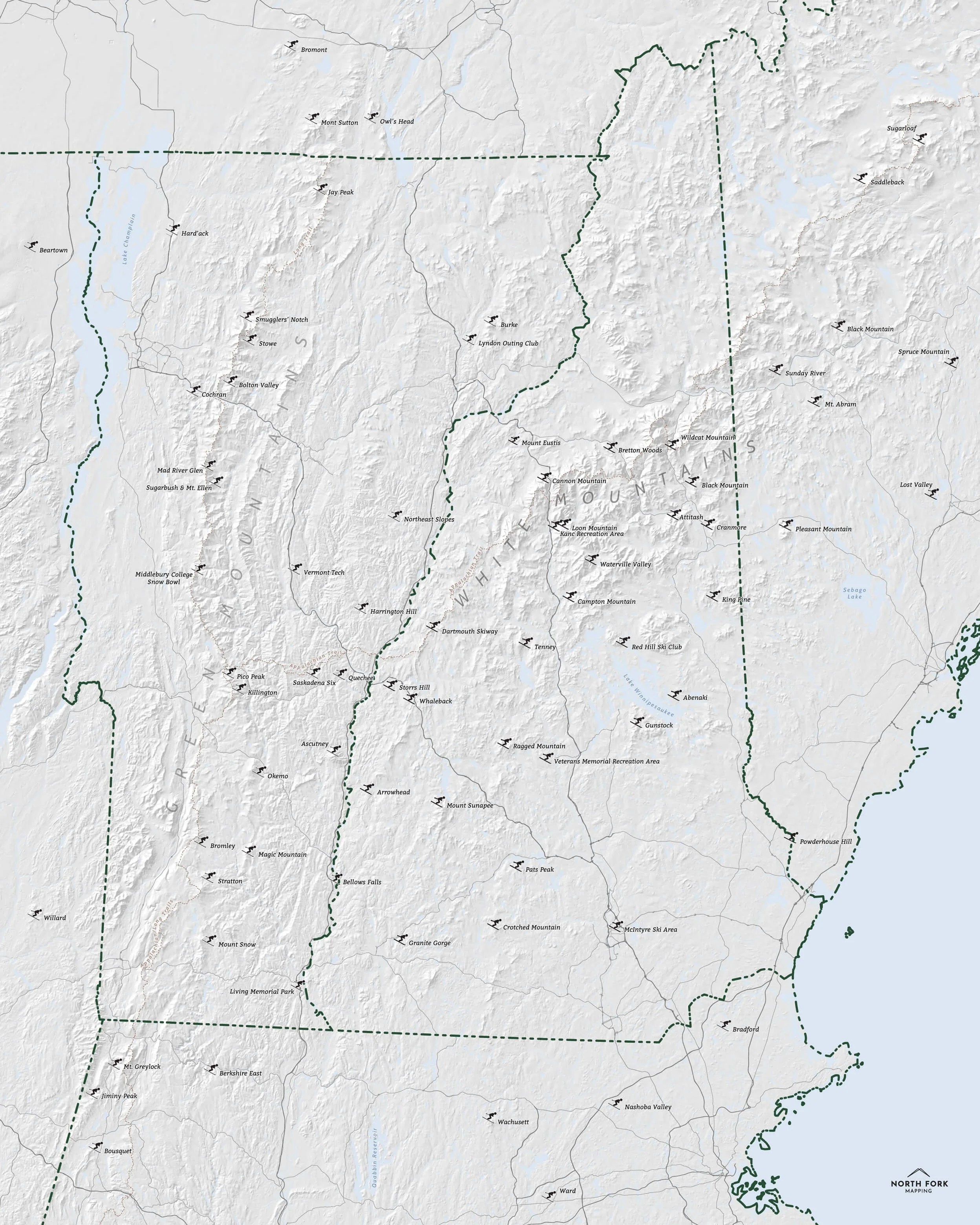 Image 2 of 3
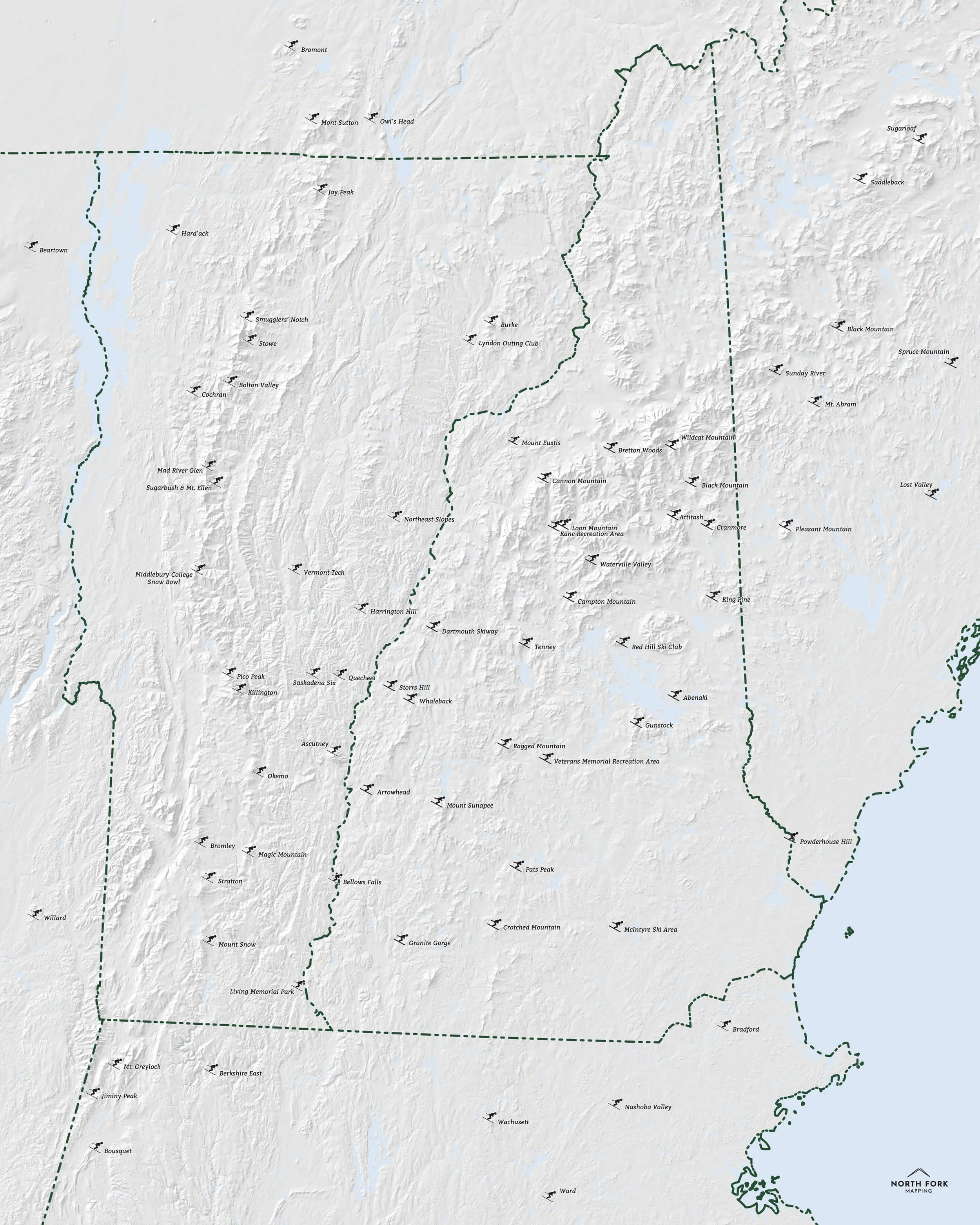 Image 3 of 3
Vermont Alpine Ski Areas
We have two signature styles of this map depending on what you’re looking for:
“Just The Basics” - Title and hillshade as well as labeled ski areas.
“All The Things” - Just as it sounds. The mappiest of them all. Adds in mountain ranges labels, major lakes labels, Appalachain and Long Trails, and a faint road network underneath for reference.


