

South Hills, Helena
A map of the South Hills area outside of Helena! 15% of proceeds from each South Hills map sold goes to Prickly Pear Land Trust.
Two decades ago, the community of Helena banded together and formed Prickly Pear Land Trust to create and protect Mt. Ascension Natural Park. PPLT has stayed true to its roots and today is a creative conservation organization whose guiding principle is to “connect land and people.” PPLT works to reach this goal by focusing on three key areas: Trails, Lands, and Community Conservation.
See below for descriptions on our three signature styles.
Prints are shown framed for display purposes only.
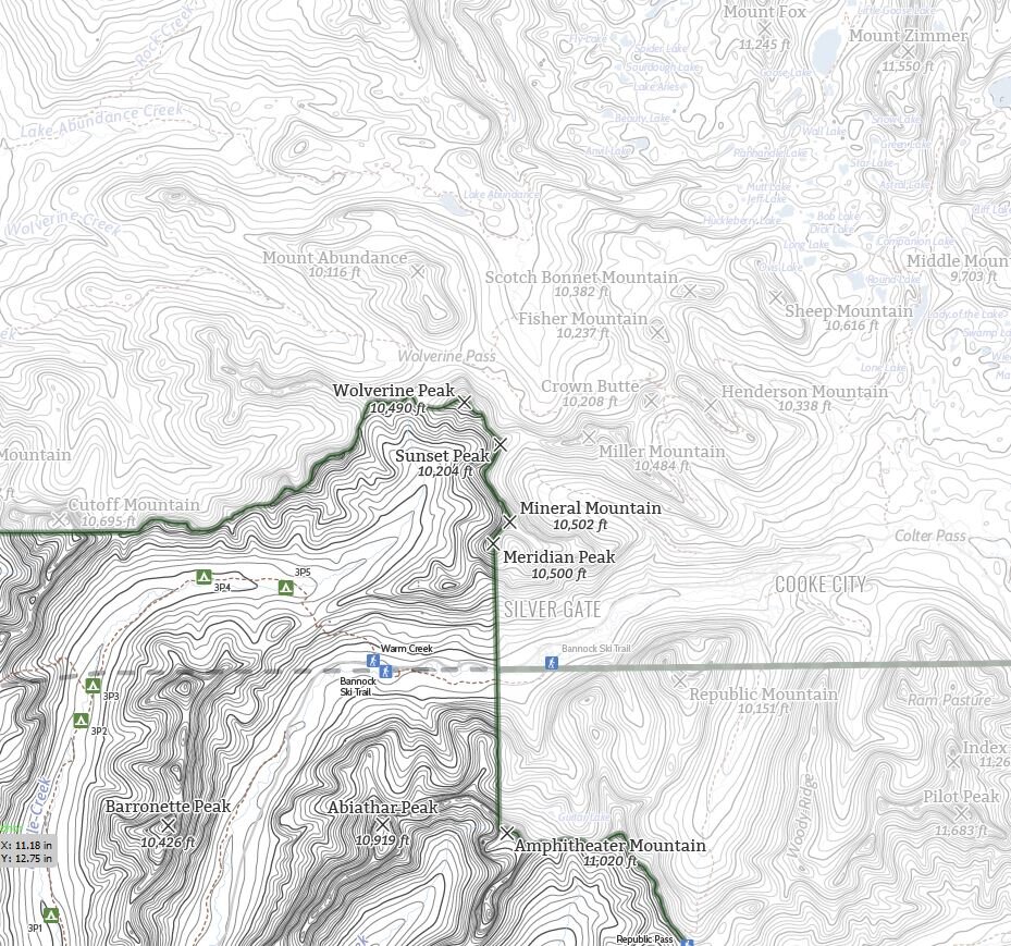
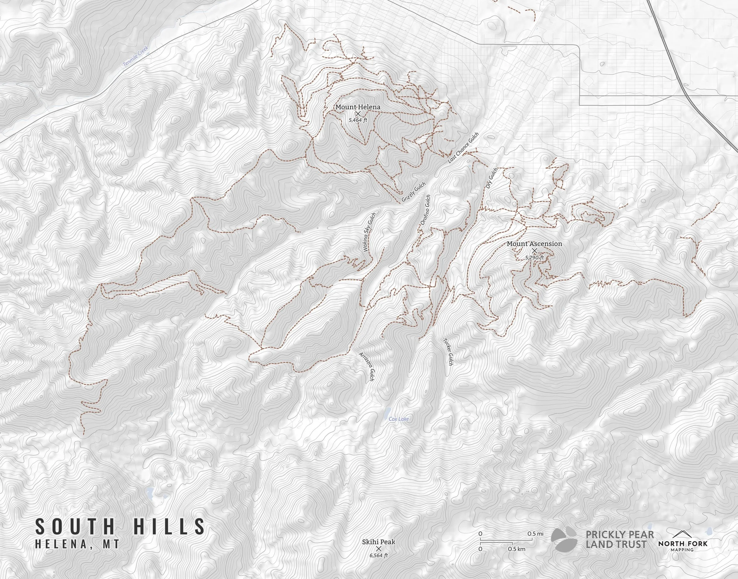
A map of the South Hills area of Helena, Montana!
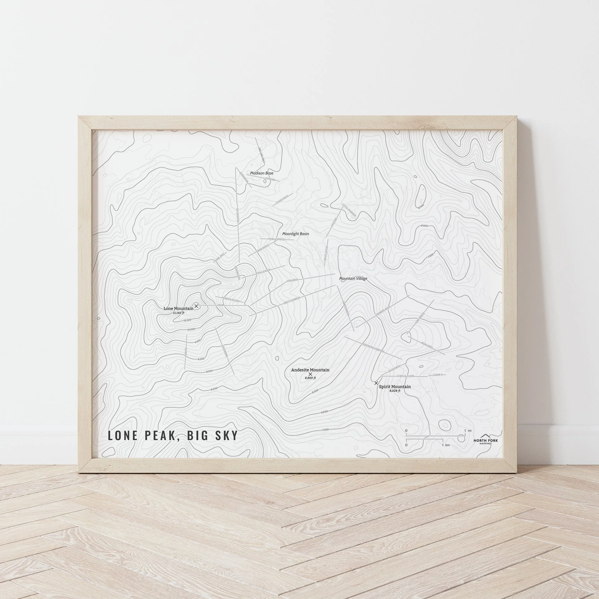
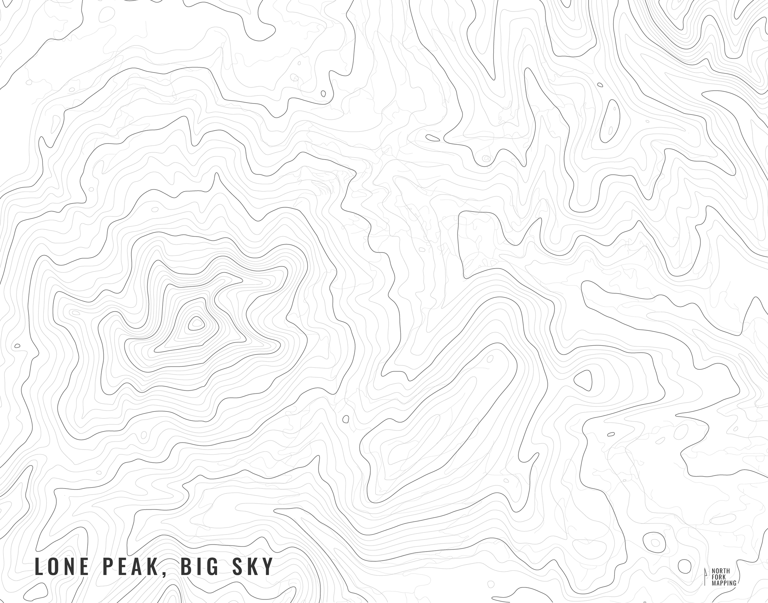
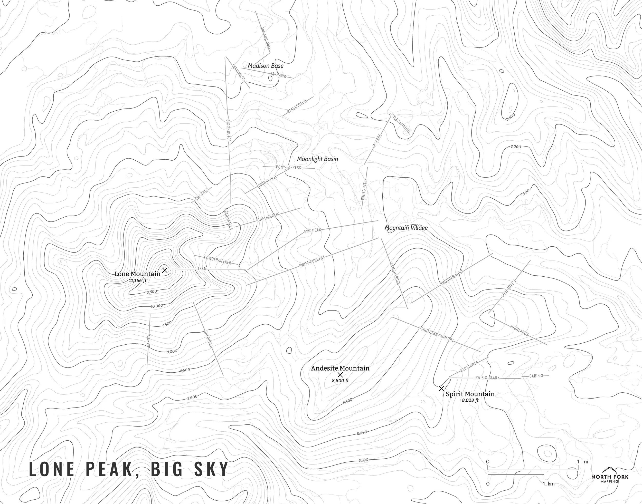
We have three signature styles of map depending on what you’re looking for:
“Minimalist” - This map has the title as well as hydrology, hillshade background, and contour lines. Clean, simple, elegant. More of an “art” look than a “map” look.
“Just The Basics” - Adding onto the minimalist style with a the trail system, mountain summit points, and a scale bar. A basic map.
“All The Things” - Just as it sounds. The mappiest of them all. Adds in a faint road network, lake labels, stream labels, and common place name labels.