 Image 1 of 4
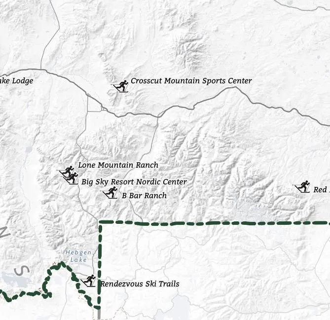 Image 2 of 4
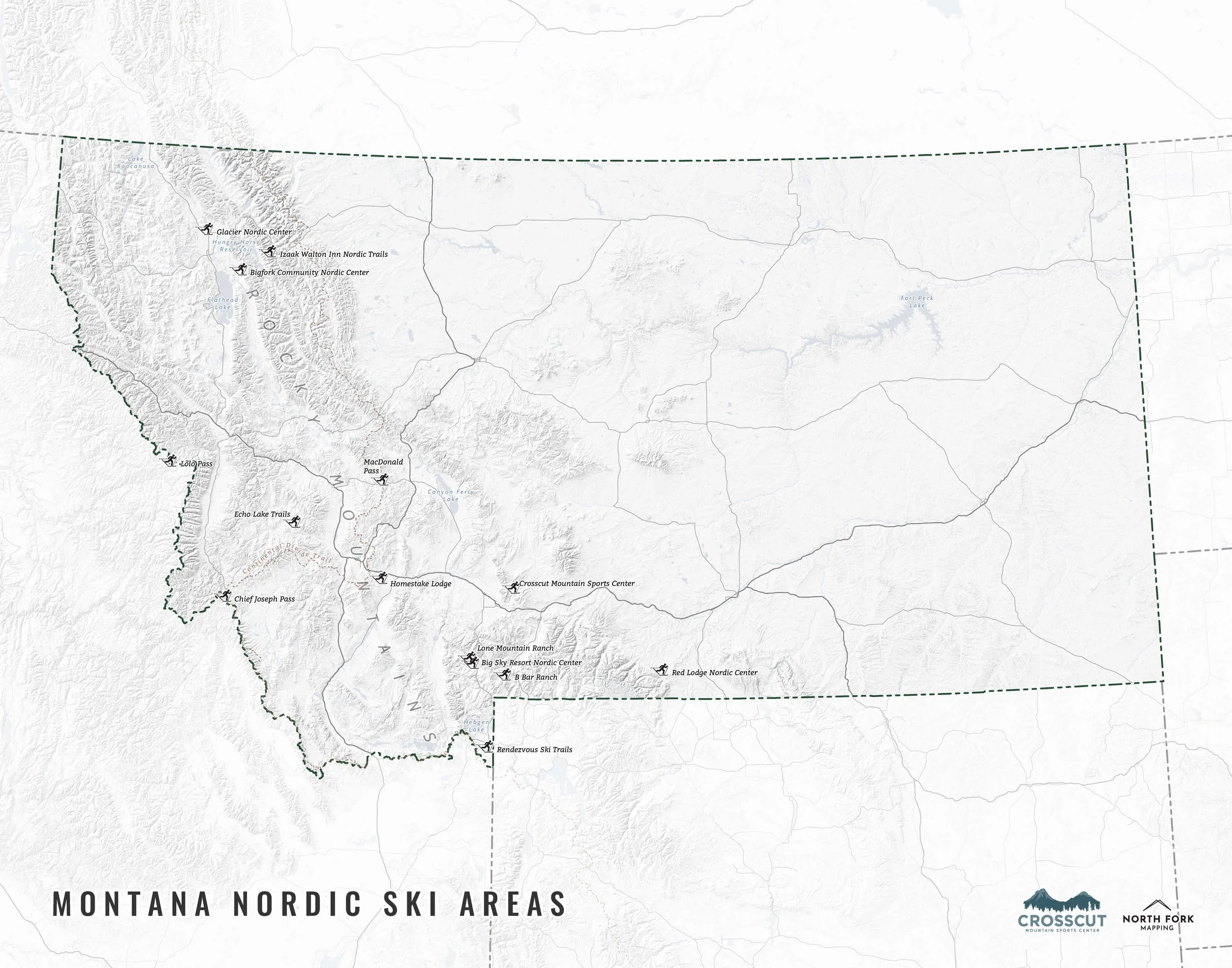 Image 3 of 4
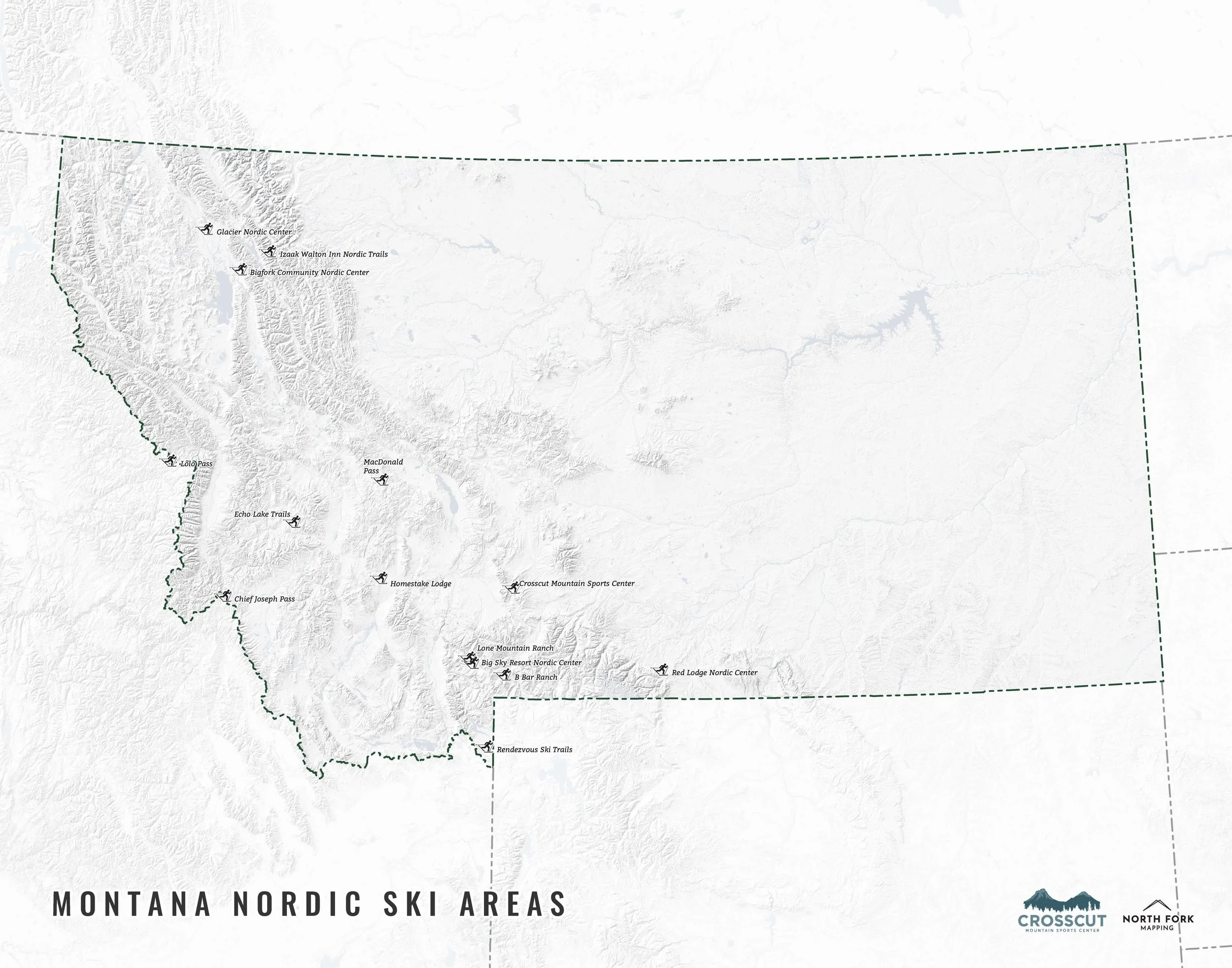 Image 4 of 4
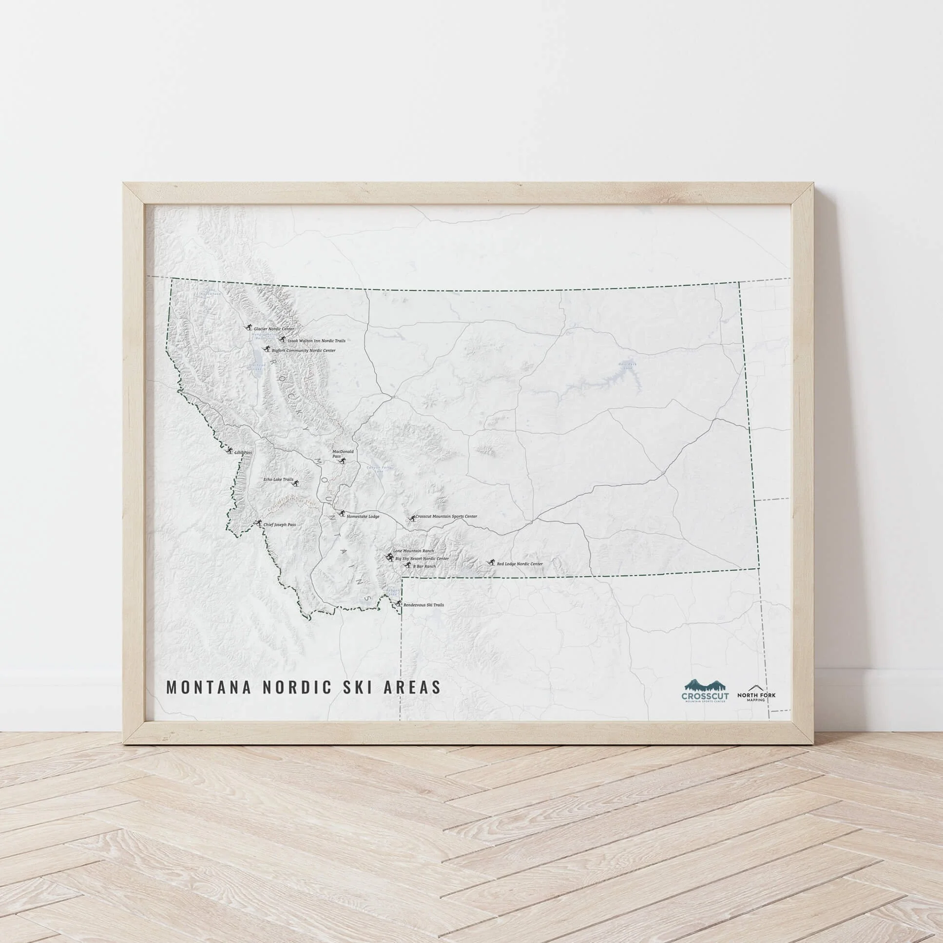
Montana Nordic Ski Areas
We have two signature styles of this map depending on what you’re looking for:
“Just The Basics” - Title and hillshade as well as labeled ski areas.
“All The Things” - Just as it sounds. The mappiest of them all. Adds in Rocky Mountains label, major lakes labels, Continental Divide Trail, and a faint road network underneath for reference.


