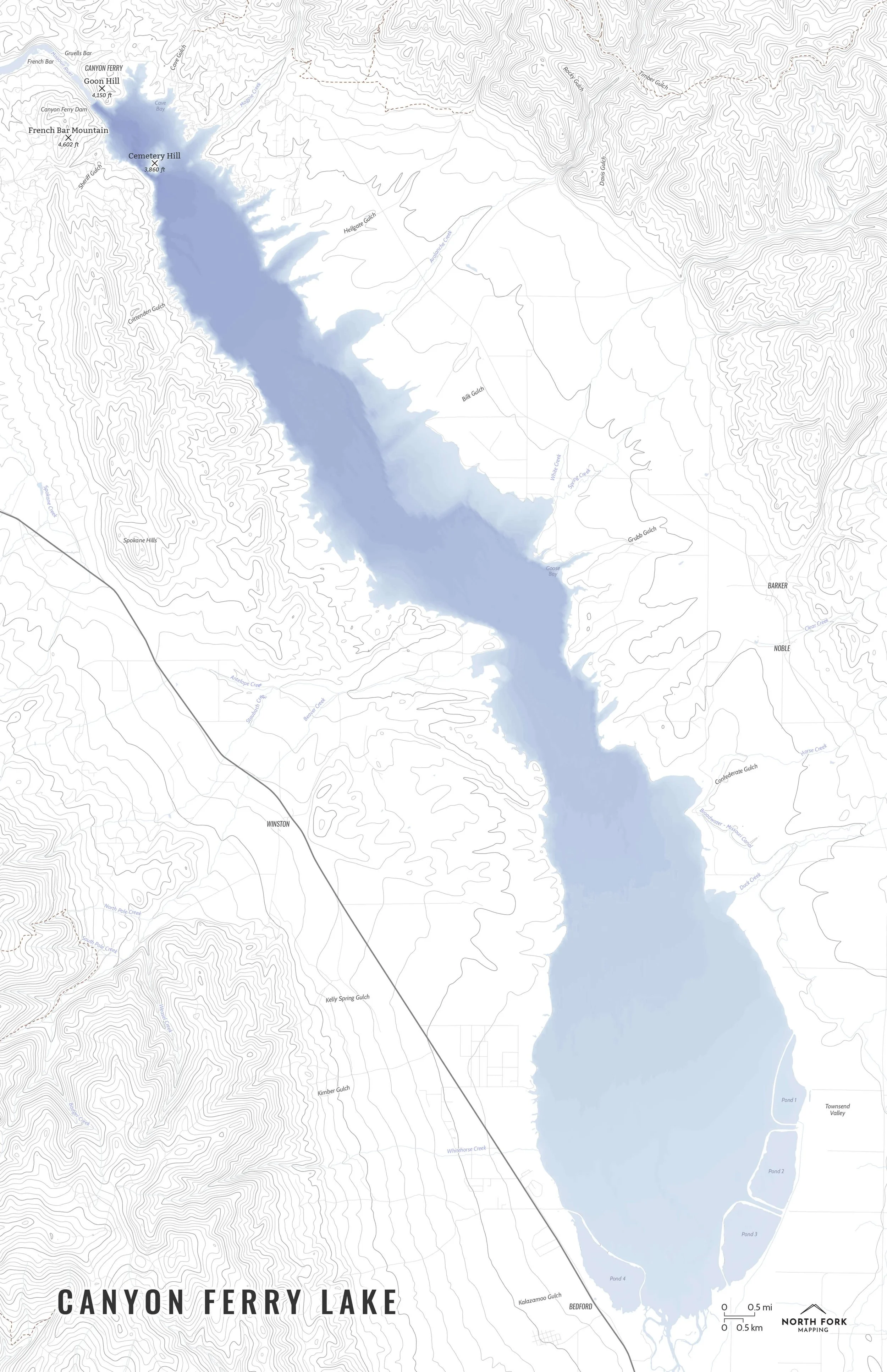
Skip to Content
North Fork Mapping
Home
Shop Maps
Custom Maps
Stockists
Wholesale
About
FAQs
Artist Resources
Contact
Follow us on Instagram
Follow us on Facebook
0
0
North Fork Mapping
Home
Shop Maps
Custom Maps
Stockists
Wholesale
About
FAQs
Artist Resources
Contact
Follow us on Instagram
Follow us on Facebook
0
0
Home
Shop Maps
Custom Maps
Stockists
Wholesale
Folder: About
Back
FAQs
Artist Resources
Contact
Follow us on Instagram
Follow us on Facebook
Shop Maps Missouri Headwaters
Headwaters-Of-The-Missouri-Map_North-Fork-Mapping_Framed.jpg Image 1 of 7
Headwaters-Of-The-Missouri-Map_North-Fork-Mapping_Framed.jpg
HeadwatersMissouriZoom.JPG Image 2 of 7
HeadwatersMissouriZoom.JPG
HeadwatersMissouriZoom2.JPG Image 3 of 7
HeadwatersMissouriZoom2.JPG
Headwaters-Of-The-Missouri-Map_North-Fork-Mapping_Framed2.jpg Image 4 of 7
Headwaters-Of-The-Missouri-Map_North-Fork-Mapping_Framed2.jpg
MissouriHeadwatersMap_all-01.jpg Image 5 of 7
MissouriHeadwatersMap_all-01.jpg
MissouriHeadwatersMap_basics-01.jpg Image 6 of 7
MissouriHeadwatersMap_basics-01.jpg
MissouriHeadwatersMap_minimalist-01.jpg Image 7 of 7
MissouriHeadwatersMap_minimalist-01.jpg
Headwaters-Of-The-Missouri-Map_North-Fork-Mapping_Framed.jpg
HeadwatersMissouriZoom.JPG
HeadwatersMissouriZoom2.JPG
Headwaters-Of-The-Missouri-Map_North-Fork-Mapping_Framed2.jpg
MissouriHeadwatersMap_all-01.jpg
MissouriHeadwatersMap_basics-01.jpg
MissouriHeadwatersMap_minimalist-01.jpg

Missouri Headwaters

from $34.00

A map of the Missouri Headwaters! The official start of the Missouri River is just north of the town of Three Forks, Montana at the confluence of the Jefferson and Madison rivers. The Missouri is then joined by the Gallatin a mile downstream. The Missouri then continues, as the longest river in North America, where it eventually joins with the Mississippi River north of St. Louis.

See below for descriptions on our three signature styles.

Prints are shown framed for display purposes only.

Size:
Style:
Quantity:
Add Missouri Headwaters Map to Cart

A map of the Missouri Headwaters! The official start of the Missouri River is just north of the town of Three Forks, Montana at the confluence of the Jefferson and Madison rivers. The Missouri is then joined by the Gallatin a mile downstream. The Missouri then continues, as the longest river in North America, where it eventually joins with the Mississippi River north of St. Louis.

See below for descriptions on our three signature styles.

Prints are shown framed for display purposes only.

Headwaters of the Missouri Map!

We have three signature styles of map depending on what you’re looking for:

“Minimalist” - Very much focused on the hydrology. This map has the title and a faint hillshade in the background as well as the major rivers and contour lines. Clean, simple, elegant. More of an “art” look than a “map” look.

“Just The Basics” - Adding onto the minimalist style with lakes, a road network for reference, river labels, and a label for the town of Three Forks. A basic map.

“All The Things” - Just as it sounds. The mappiest of them all. Adds in the Missouri Headwaters State Park polygon, public green areas around the town of Three Forks, Montana, the Headwaters Trail system, and fishing access labels.

You Might Also Like

Lake Tahoe Map LakeTahoeMap_NorthForkMapping_Framed.jpg LakeTahoeMapScreenshot2.JPG LakeTahoeMapScreenshot.JPG LakeTahoeMap_all_11x17-01.jpg LakeTahoeMap_basics_11x17-01.jpg LakeTahoeMap_minimalist_11x17-01.jpg LakeTahoeMap_bathymetry_all_11x17-01.jpg LakeTahoeMap_bathymetry_basics_11x17-01.jpg LakeTahoeMap_bathymetry_minimalist_11x17-01.jpg
Lake Tahoe Map
from $34.00
Seeley Lake SeeleyLake.JPG SeeleyLake_all_11x17-01.jpg SeeleyLake_min_11x17-01.jpg
Seeley Lake
from $34.00
Georgetown Lake GeorgetownLakeMap_Screenshot.JPG GeorgetownLake_all_11x14-01.jpg GeorgetownLake_bas_11x14-01.jpg GeorgetownLake_min_11x14-01.jpg
Georgetown Lake
from $34.00
Canyon Ferry Lake CanyonFerryLake.JPG CanyonFerryLake_all_11x17-01.jpg CanyonFerryLake_bas_11x17-01.jpg CanyonFerryLake_min_noroads_11x17-01.jpg
Canyon Ferry Lake
from $34.00
Flathead Area FlatheadAreaMap_all_16x20-01.jpg FlatheadAreaMap_bas_16x20-01.jpg FlatheadAreaMap_min_16x20-01.jpg
Flathead Area
from $46.00

NORTH FORK MAPPING

COPYRIGHT © 2020-2025, NORTH FORK MAPPING, LLC

Frequently Asked Questions

Contact Us

NFM_Main logo b+w_smaller.jpg