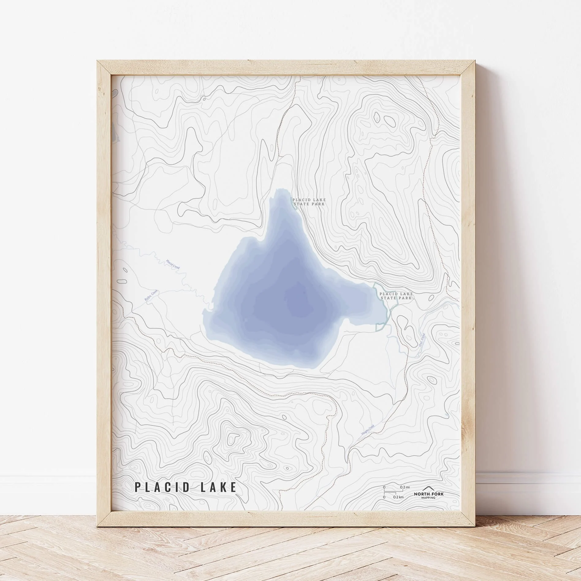
 Image 1 of 5
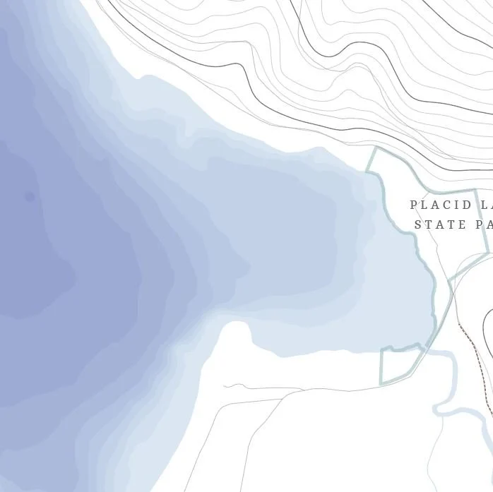
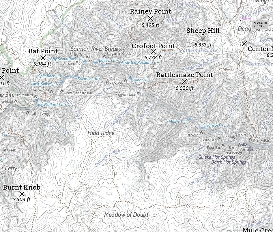 Image 2 of 5
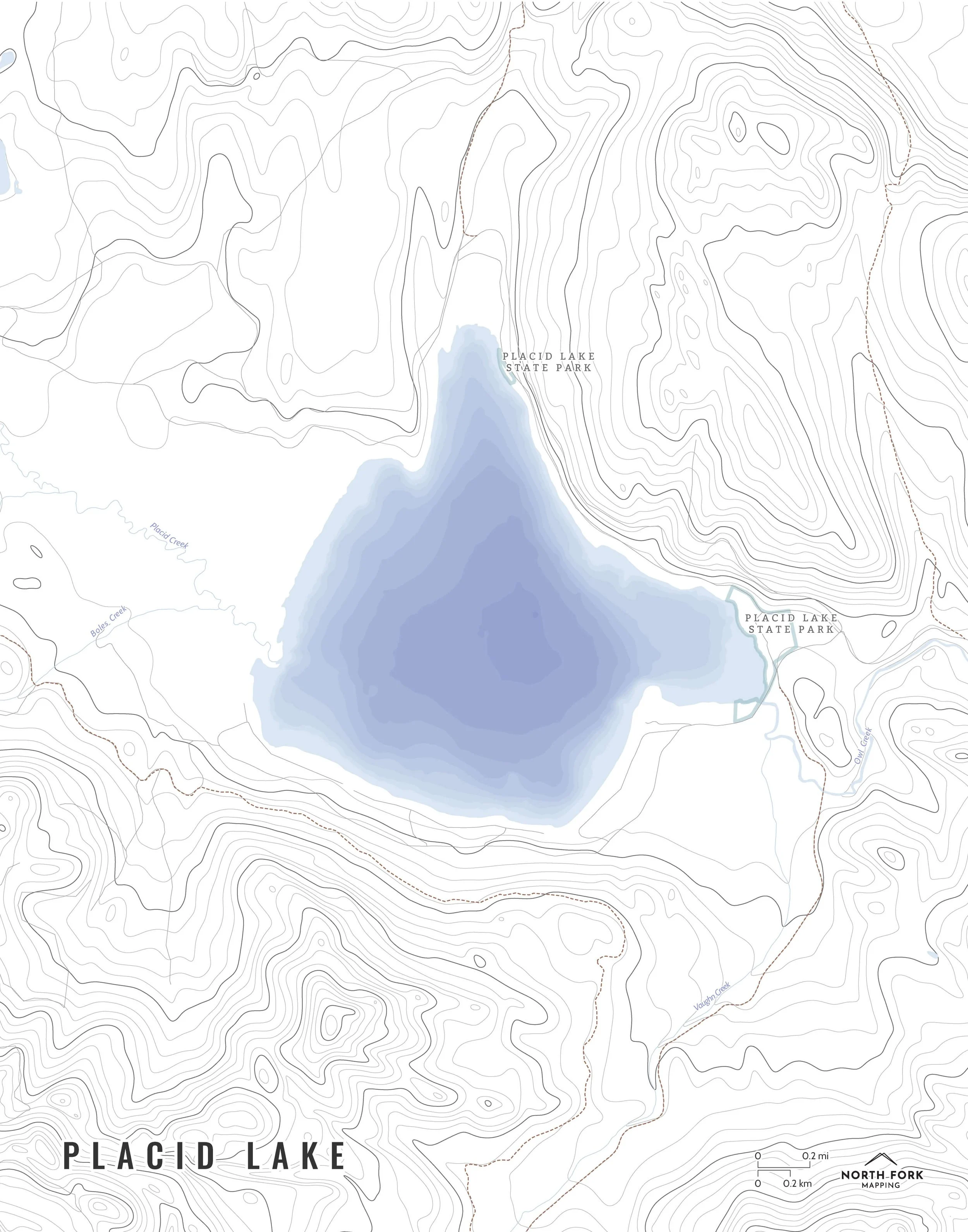
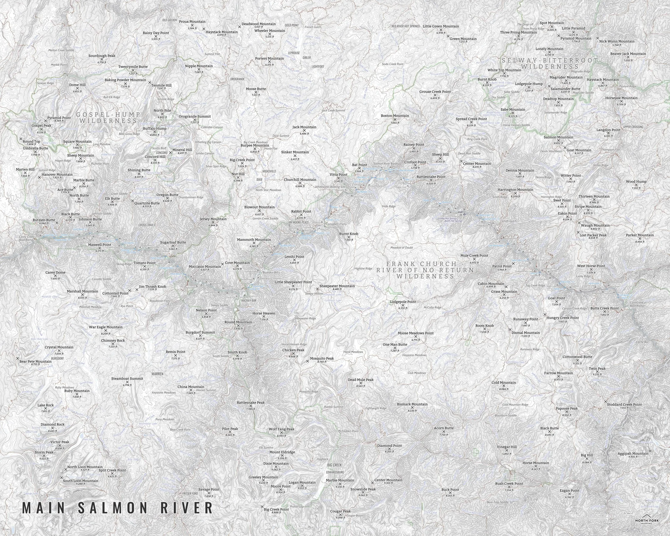 Image 3 of 5
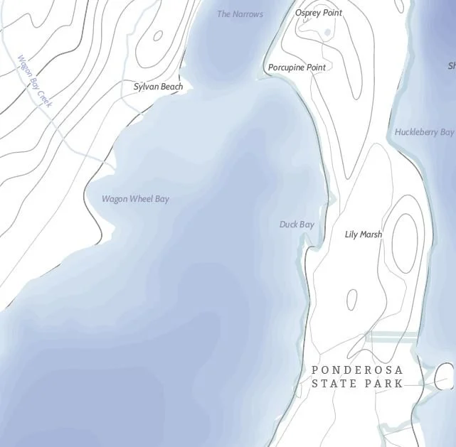
 Image 4 of 5
 Image 5 of 5
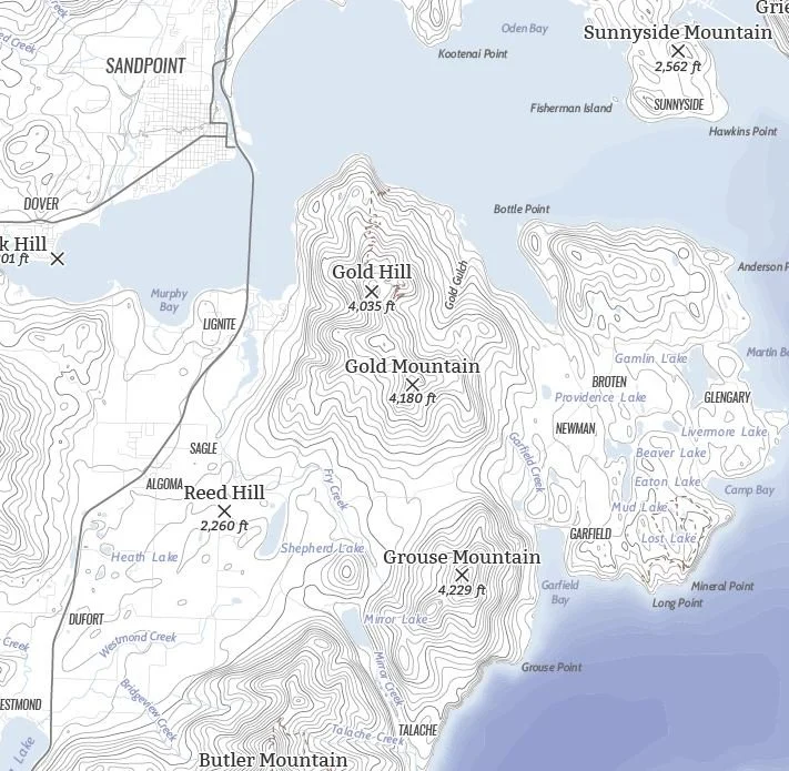
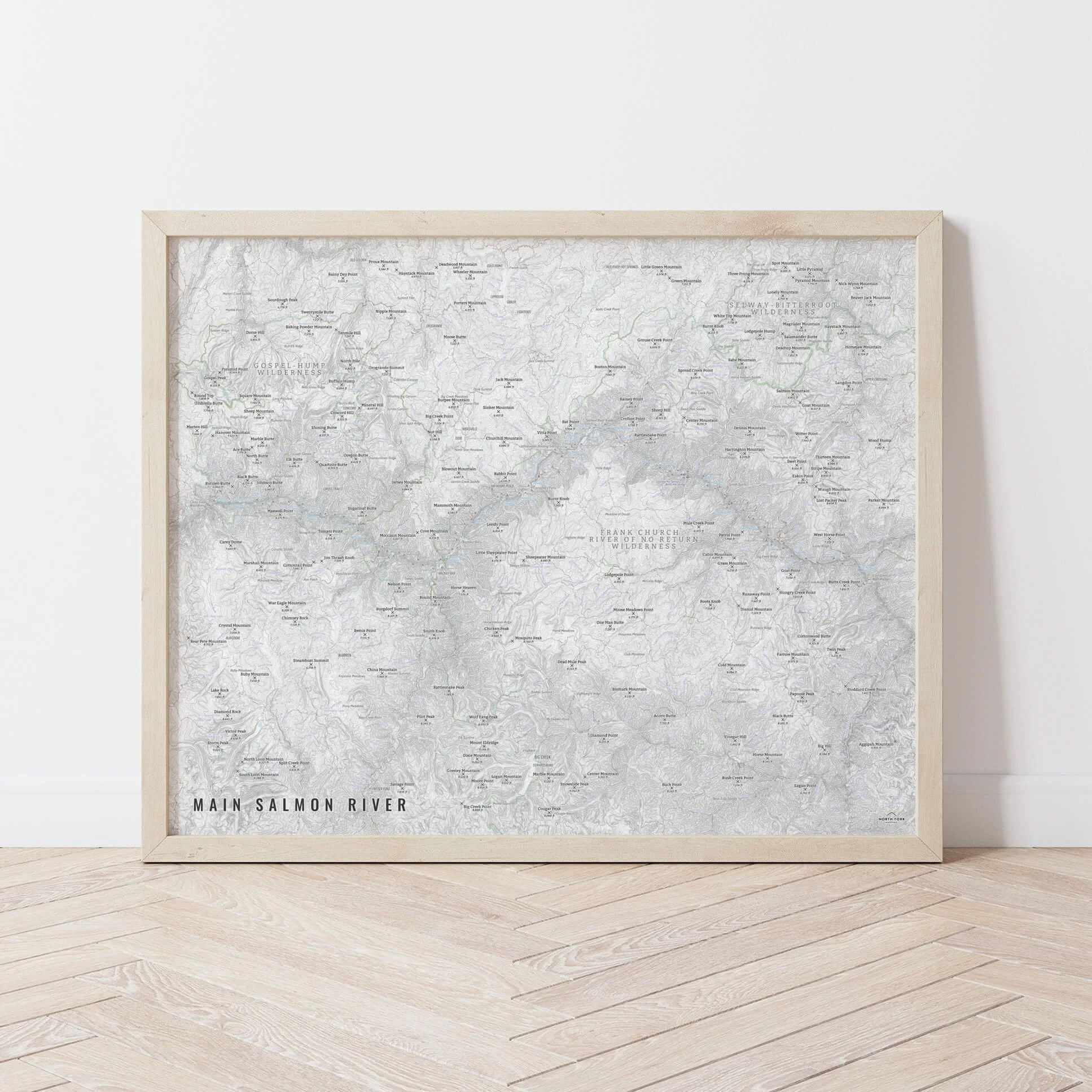
The Main Salmon River!
We have three signature styles of map depending on what you’re looking for:
“Minimalist” - Very much focused on the hydrology. This map has the title as well as hydrology and contour lines. Clean, simple, elegant. More of an “art” look than a “map” look.
“Just The Basics” - Adding onto the minimalist style with a road network for reference, mountain summit info, and camp, rapid, and hot spring symbols (no labels), as well as a scale bar. A basic map.
“All The Things” - Just as it sounds. The mappiest of them all. Adds in the Frank Church - River of No Return Wilderness Boundary and label, labels for the rapids (name and class), camps, as well as town labels and other common place names.