

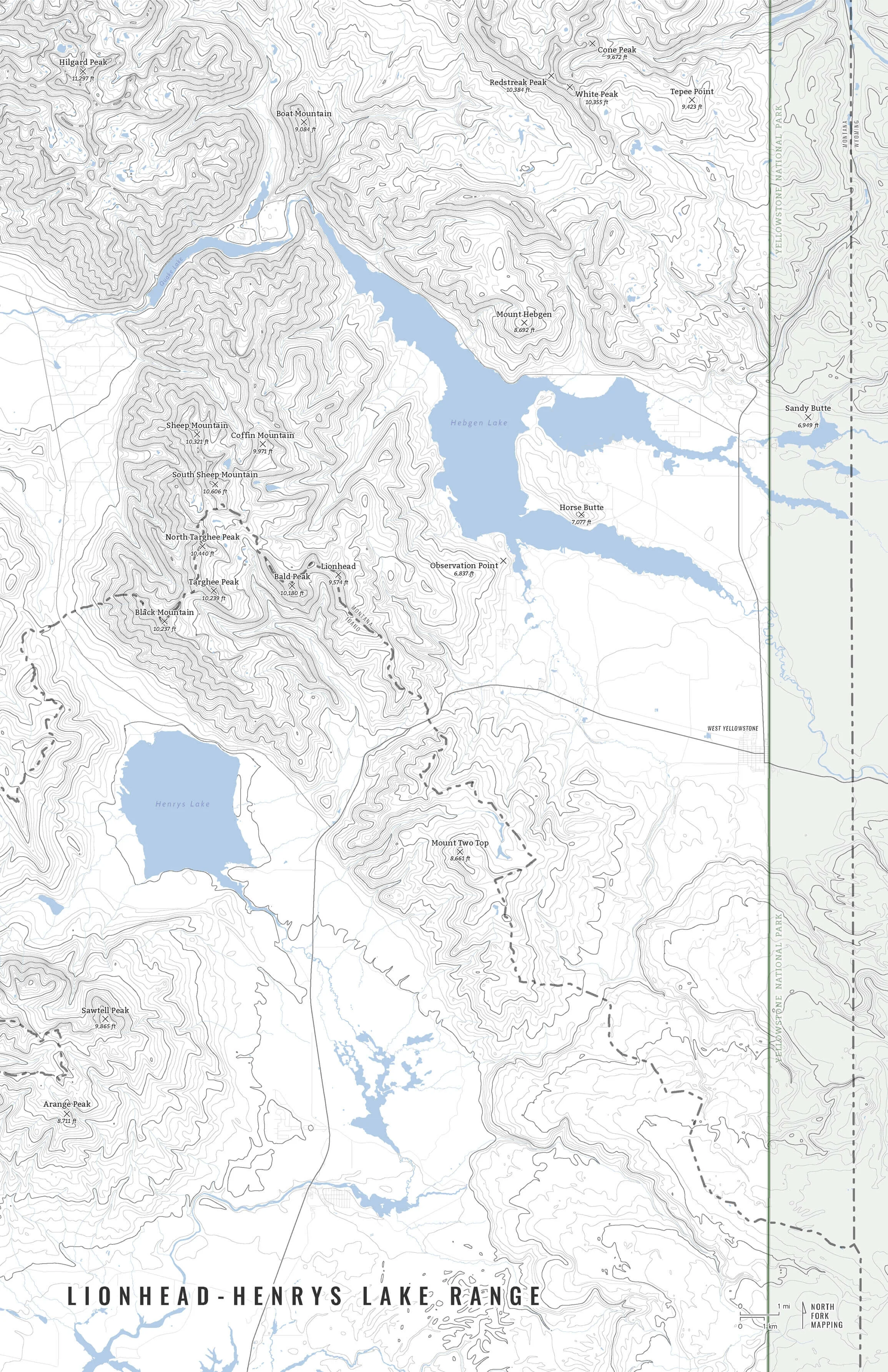


Lionhead - Henrys Lake Range
A map of Lionhead Range, also known as Henrys Lake Range. From Sheep Mountain to Mount Two Top, we’ve got you covered with this map. Yellowstone National Park and West Yellowstone make an appearance on the east side of this map. The range straddles the Continental Divide between Idaho and Montana.
See below for descriptions on our three signature styles.
Prints are shown framed for display purposes only.
Lionhead / Henrys Lake Range
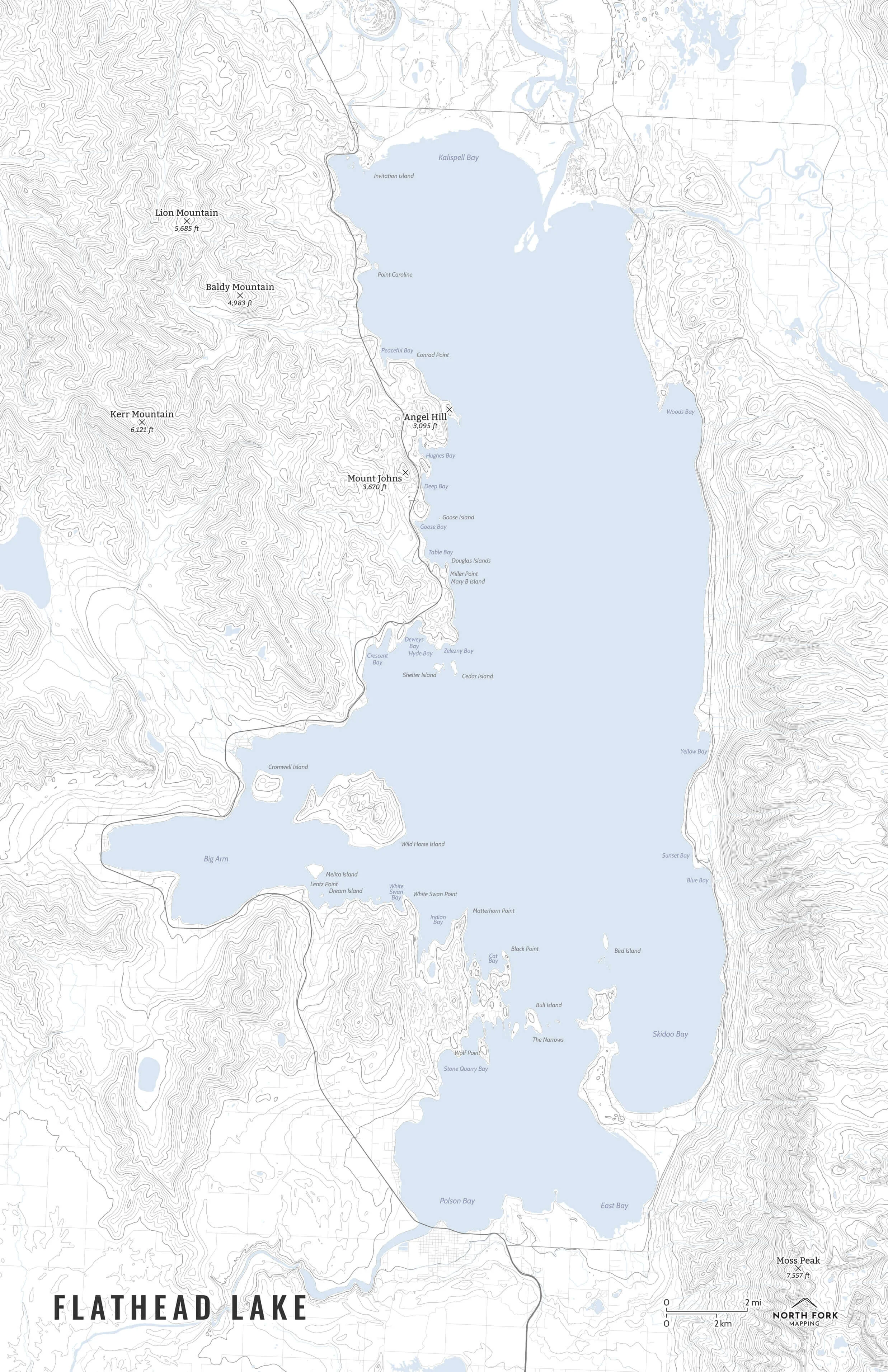
We have three signature styles of map depending on what you’re looking for:
“Minimalist” - Title and topo lines with a very faint road network underneath for reference as well as rivers. Clean, simple, elegant. More of an “art” look than a “map” look.
“Just The Basics” - Adding onto the minimalist style with summit names and elevations, state boundaries, NPS boundary, labels for the larger lakes, a label for West Yellowstone, as well as a scale bar. A basic map.
“All The Things” - Just as it sounds. The mappiest of them all. Adding common place names, lake and stream labels, trails, contour labels, and other elements.


![Cascade Range [Central Oregon]](https://images.squarespace-cdn.com/content/v1/5dd2fffb52f5c11013122773/1654308244925-D4IR90ZM2826DPBIXCTO/CascadeRangeMap_CentralOregon_NorthForkMapping_Framed.jpg)


