Lake Pend Oreille

from $34.00

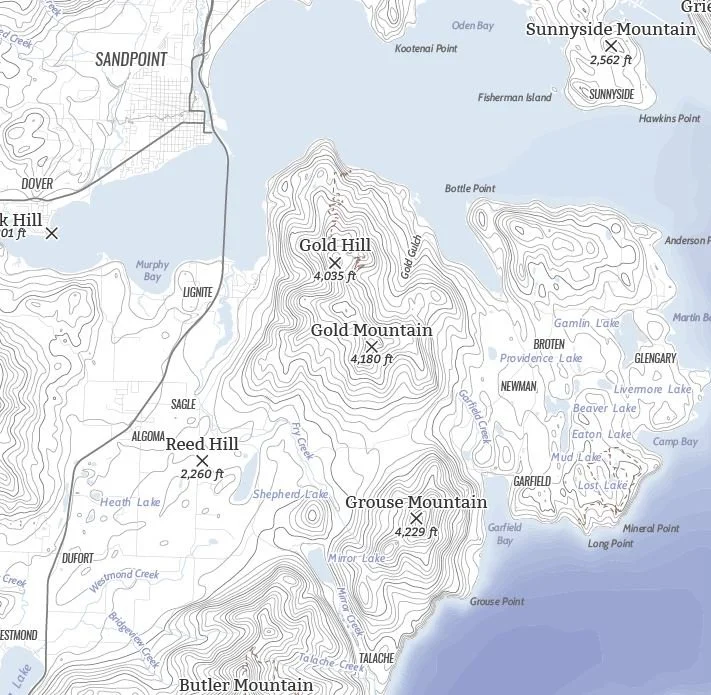
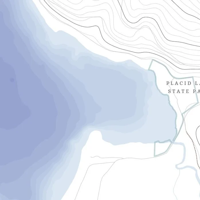
A map of Lake Pend Oreille! Lake Pend Oreille is the largest lake in Idaho and the fifth deepest in the United States. It is fed by the Clark Fork and Pack Rivers and drains into the Pend Oreille River. The lake was glacially formed during the ice age and is made slightly larger by the dam at Albeni Falls. The Kalispel peoples, also known as the Pend d’Oreilles, were the original inhabitants of the area around Lake Pend Oreille.

See below for descriptions on our three signature styles.

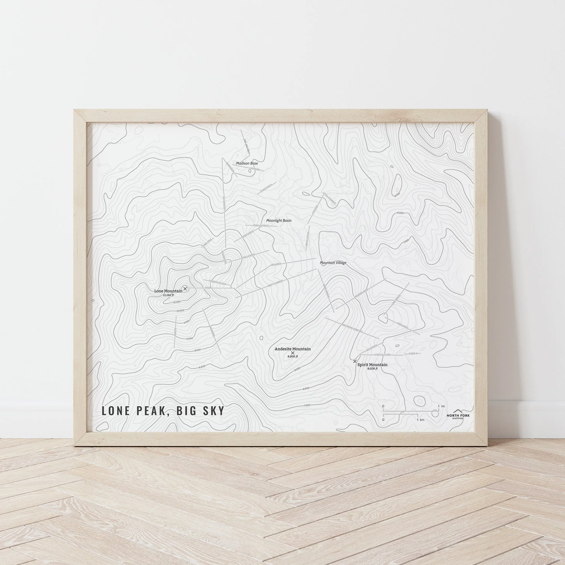
Prints are shown framed for display purposes only.

Size:
Style:

A map of Lake Pend Oreille! Lake Pend Oreille is the largest lake in Idaho and the fifth deepest in the United States. It is fed by the Clark Fork and Pack Rivers and drains into the Pend Oreille River. The lake was glacially formed during the ice age and is made slightly larger by the dam at Albeni Falls. The Kalispel peoples, also known as the Pend d’Oreilles, were the original inhabitants of the area around Lake Pend Oreille.

See below for descriptions on our three signature styles.

Prints are shown framed for display purposes only.

Flathead Lake Map!

We have three signature styles of map depending on what you’re looking for:

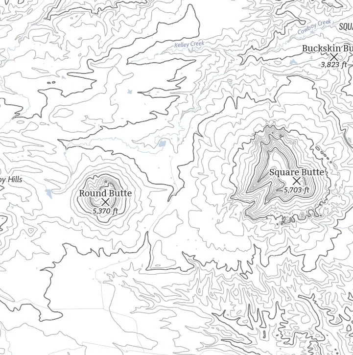
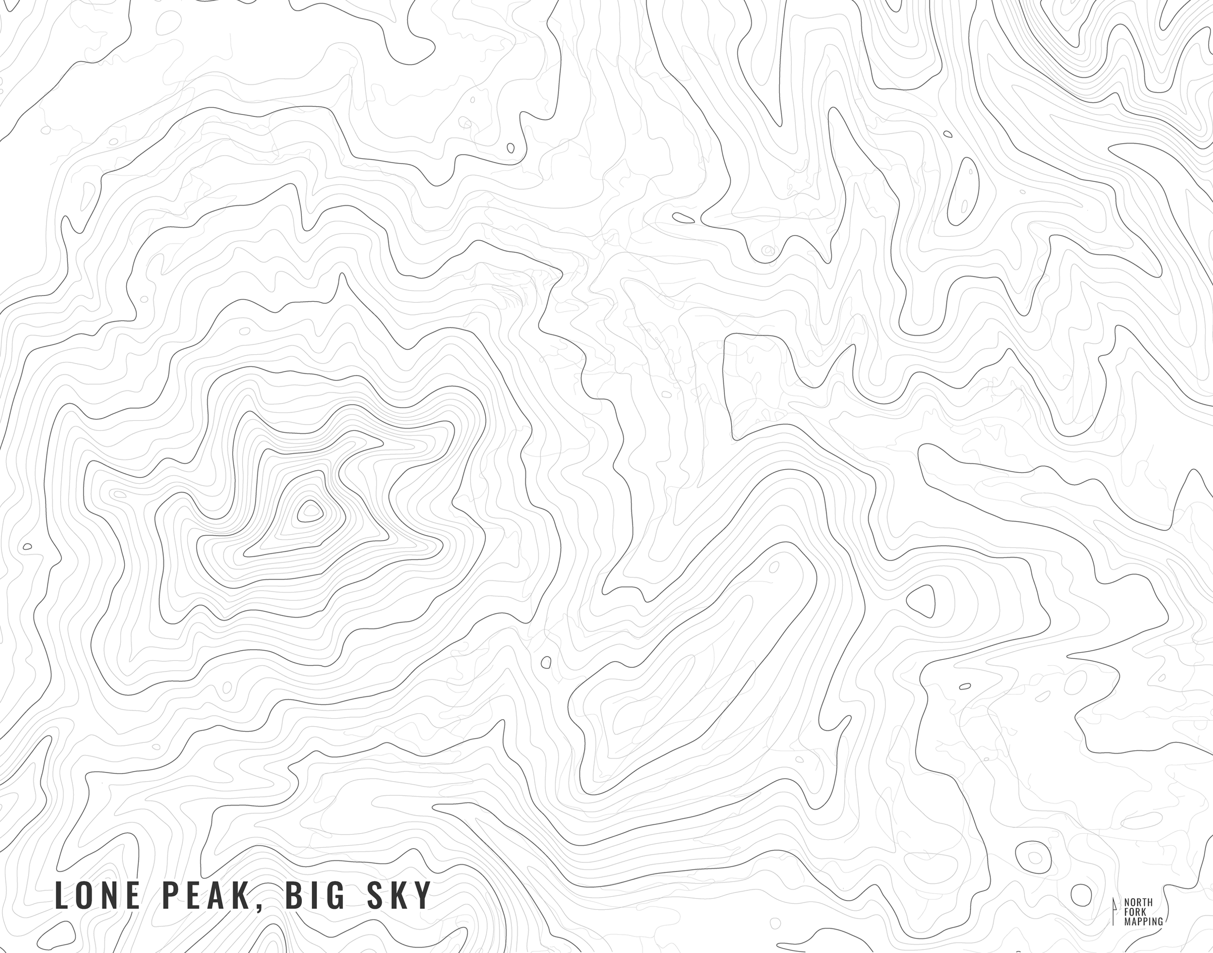
“Minimalist” - This map has the title as well as hydrology and contour lines. Clean, simple, elegant. More of an “art” look than a “map” look.

“Just The Basics” - Adding onto the minimalist style with a road network for reference, mountain summit points, lake bays and points, and a scale bar. A basic map.

“All The Things” - Just as it sounds. The mappiest of them all. Adds in trails, lake labels, stream labels, town labels, and common place name labels.