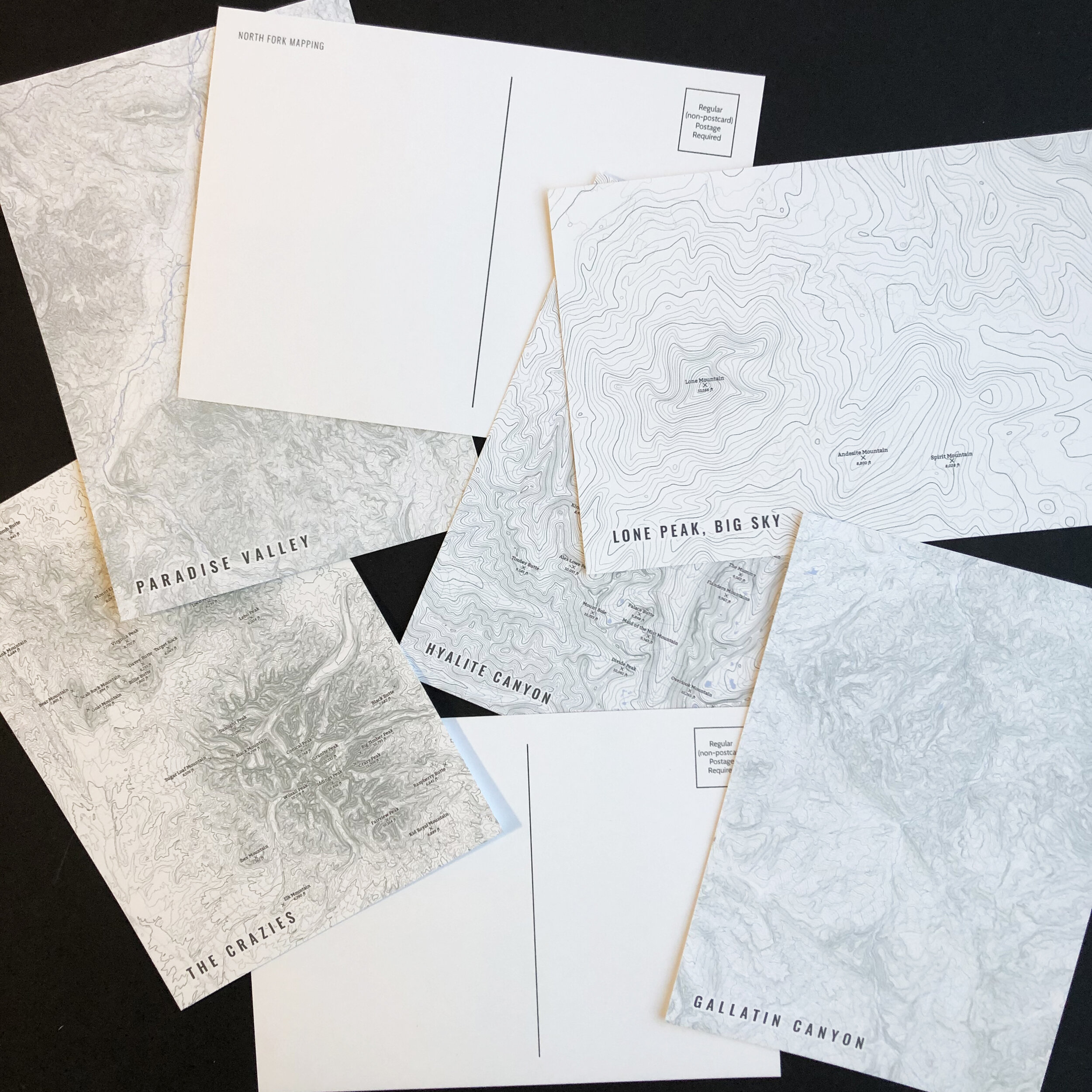
Image 1 of 5
 Image 2 of 5
 Image 3 of 5
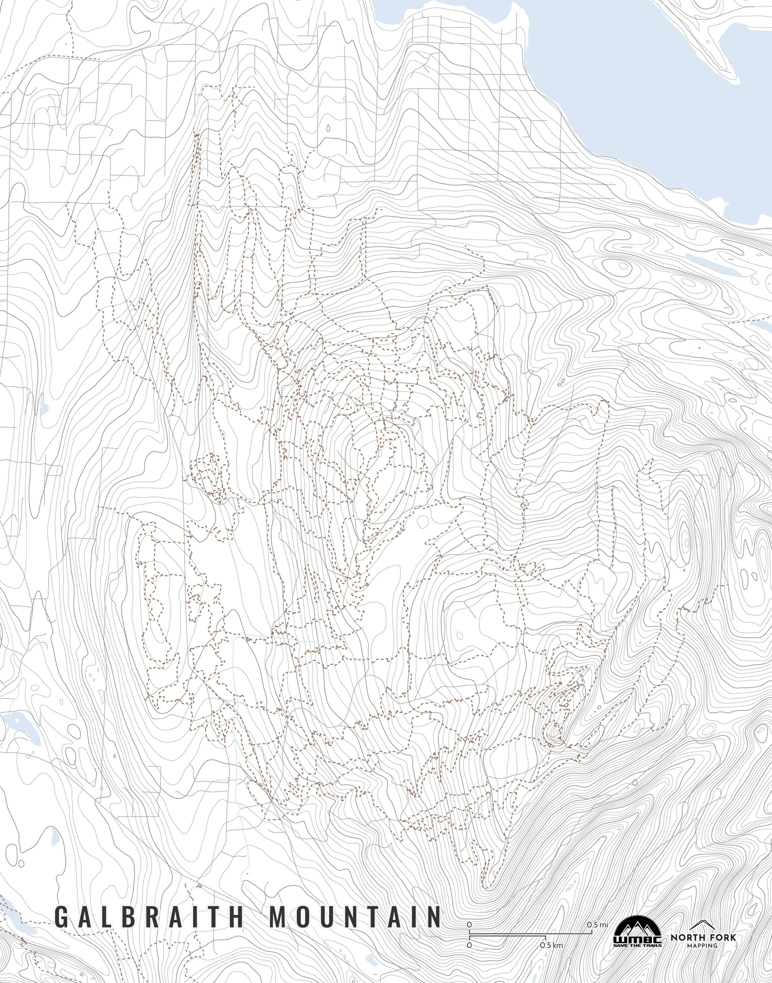 Image 4 of 5
 Image 5 of 5
A map of Galbraith Mountain!
We have three signature styles of map depending on what you’re looking for:
“Minimalist” - This map has the title as well as contour lines. Clean, simple, elegant. More of an “art” look than a “map” look.
“Just The Basics” - Adding onto the minimalist style with the mountain biking trails and a scale bar. A basic map.
“All The Things” - Just as it sounds. The mappiest of them all. Adds in trail labels and contour labels.


![Cascade Range [Central Oregon]](https://images.squarespace-cdn.com/content/v1/5dd2fffb52f5c11013122773/1654308244925-D4IR90ZM2826DPBIXCTO/CascadeRangeMap_CentralOregon_NorthForkMapping_Framed.jpg)